Drive south from Canberra through Tharwa. Continue south down the Naas Road. Very pretty at this time of the year and this time of the day, especially around Half Moon Creek with blossom trees in flower. Go south down the Boboyan Road, past the end of the black-top and on to the Mt Clear camping ground turnoff. Drive to the carpark. Mind the kangaroos. A quick hour's drive.
I left home at 10 to 6 and was walking by 6.50am. Lovely at this time of the morning - still, slanting sun and crisp air. The Long Flat circuit is number 20 in Graeme Barrow's Namadgi and Tidbinbilla Classics: Tough Bushwalks in Canberra's High Country and the Mt Clear circuit is number 19. They share the same outward leg, so I decided to combine the two.
The route leaves the car park via the gate and the start of the Naas Valley fire trail, but soon swings right (south) onto the Long Flat fire trail. Back or Grassy Creek looked a picture and plenty of 'roos were grazing. In 30 minutes I'd covered the 2km to where the trail heads east and up in a number of contouring squiggles. Easy walking and I wanted to keep a fair pace up to beat the forecast afternoon showers.
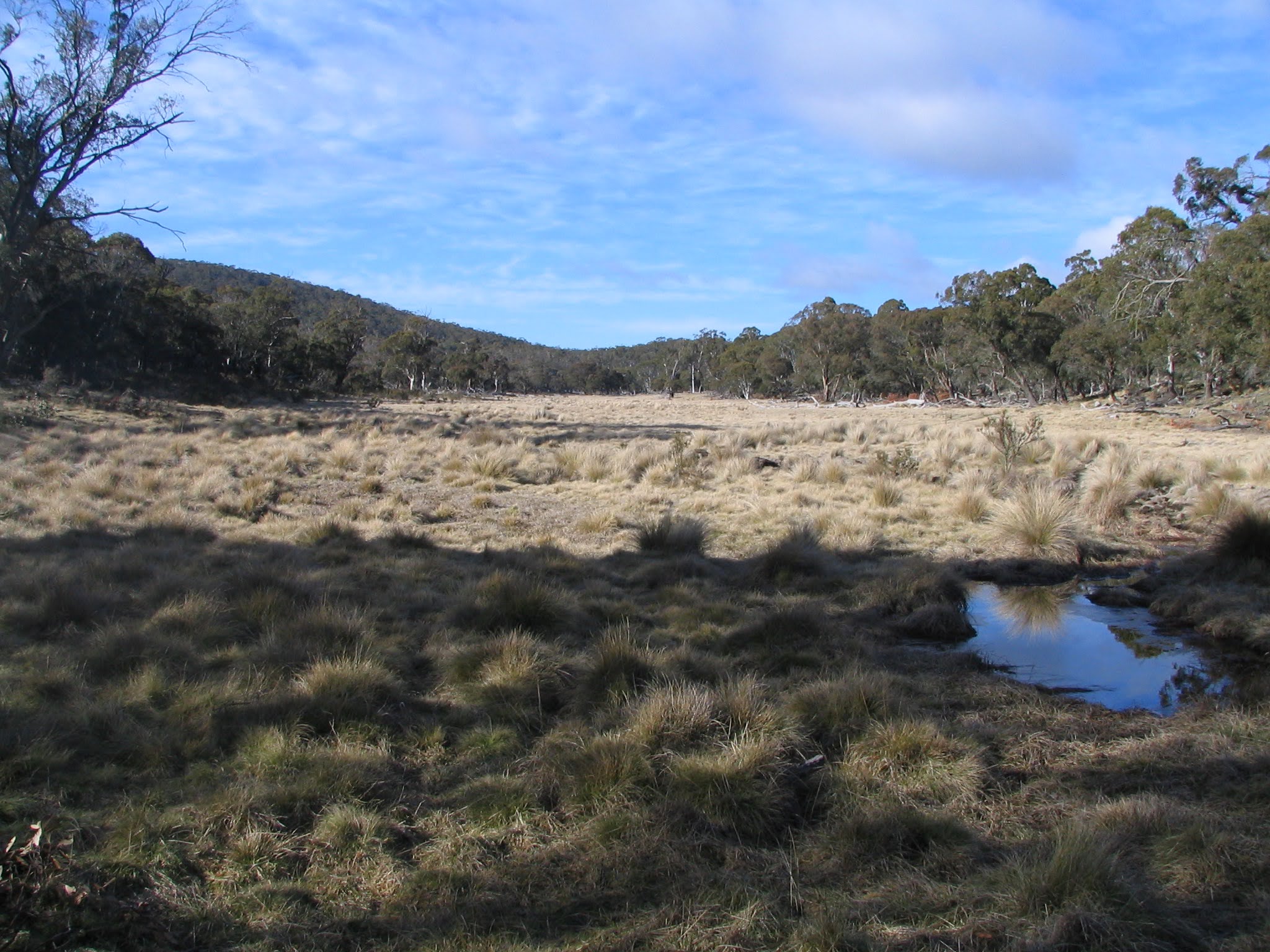
40 minutes and 3.25km further on I reached Sam Aboud's dunny. I didn't know what to expect and now I've spoilt it for you with the picture. The first sighting of Mt Clear came just after. 25 minutes and 1.8km later I reached the northern end of Long Flat. The fire trail is pretty boring, but Long Flat is a real picture - nearly worth the slog.
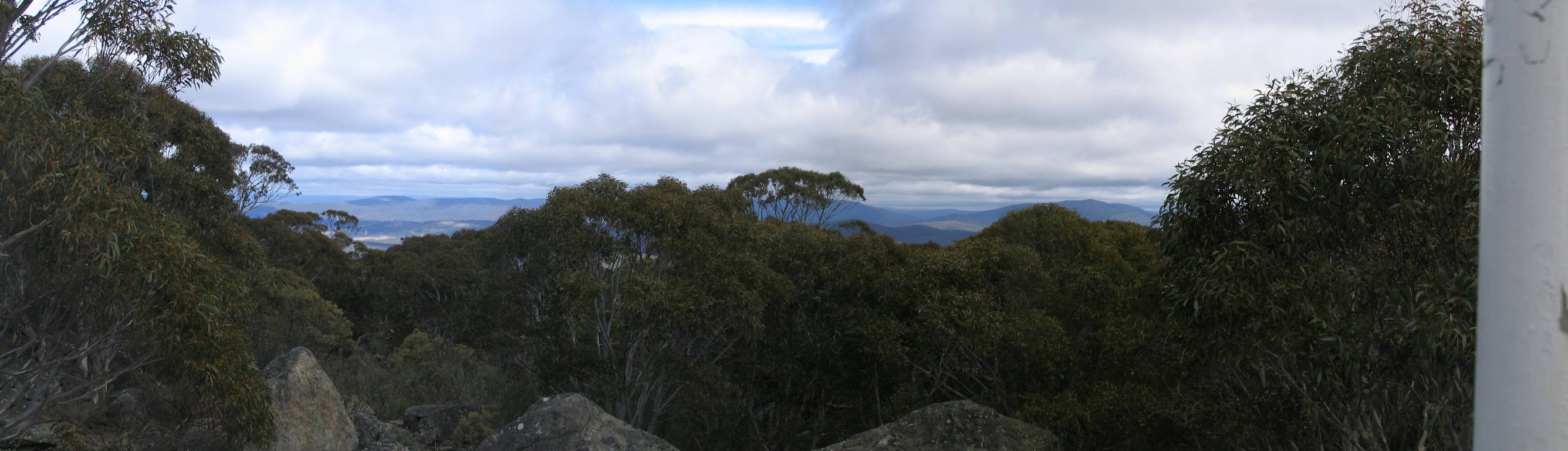
Just after the southern end of Long Flat the trail T-intersects with the Mt Clear fire trail. A bit of a climb, heading left at the intersection at Top Flats and I reached Mt Clear at 10am. It was interesting to note that I'd done the 22.8 gradable km (14.8km and 800m up) in 3 hours and 10 minutes - at least I can walk at my own lonely pace when I walk solo! Not much of a view from Mt Clear - a bit of a sight to the east and tree hidden views to the west. But at least the area is not burned. I had a 10 minute break, consuming a nice cheese and tomato bun as I organised myself for the only bit of bush bashing.
Headed down at 290degM. Steep and rocky at first, then the slope became a little gentler. The 2.8km took 1 hour 20 minutes. I hit the Naas Valley fire trail at the yellow survey post 777.
I turned left and pounded the fire track again. A little surprise after about 1km. The map marked ford was indeed a ford after all the recent welcome rain, but I found a flimsy log bridge a few tens of metres upstream and crossed with dry feet. Not so fortunate at the next ford, having to wade through a few inches of swiftly flowing water. Back to the car at 12 noon.
Long Flat was charming in the Spring; the view from Mt Clear restricted. I enjoyed walking in a new area, but I don't think I'd go back to the fire trail slog. But I'd certainly recommend the circuit (or just Long Flat or Mt Clear, as in the book) to anyone who hasn't walked east of the Boboyan Road.
With the showers just holding off and the price of petrol high, I took the opportunity to bag Shanahans Mountain and get an idea of Shanahans Mountain to Shanahans Falls Creek to Horse Gully Hut and return via the Naas Valley fire trail, which has been recommended to me by Rob H.
Time: 6.50am - 12noon, with 10 minutes of stops.