This walk was organised and led by me as an irregular CBC Tuesday walk:
(Tuesday 15 April - Mt Scabby from Yaouk including source of the Cotter River - M/R,X. From Kennedys Road via Rowleys Hut head east steeply up to Mt Scabby. Explore the tops and the source of the Cotter River. North down the Cotter for 2km, then west down to Rowleys Hut and return to the car. Around 10km and 600m total climb. Demanding walking. Route not fully known to leader. Maps: Rendezvous Creek and Yaouk. Limit of 8. Leader: John Evans – jevans@pcug.org.au, (h) 6288 7235. Please contact me if you would like to co-lead. Transport: ~$18. Further details at http://jevans.pcug.org.au.)
8 of gathered from around Canberra and near and far in NSW and drove the 110km to Rowleys Hut up Kennedys Road at Yaouk. We called in to talk with the Manager of the 'Old Yaouk' property both on arrival and as we left. A long drive of around 2hrs 15mins each way, but the Boboyan and Yaouk Roads were in remarkably good condition and the weather was perfect.
I have obtained permission from the landowner to cross their land to gain the NNP. It's a long drive, so we leave at 6.30am from Duffy.
Mt Scabby and Upper Cotter Basin is Site of Significance in the ACT UC33. If time and inclination of the party allow, I wouldn't mind wandering a further around 3km return to the Scabby Tarn (Scabby Range Lake - SoS in the ACT UC32), where I camped on 8 Jul 06.
Civil twilight: 0702-1905
Walk
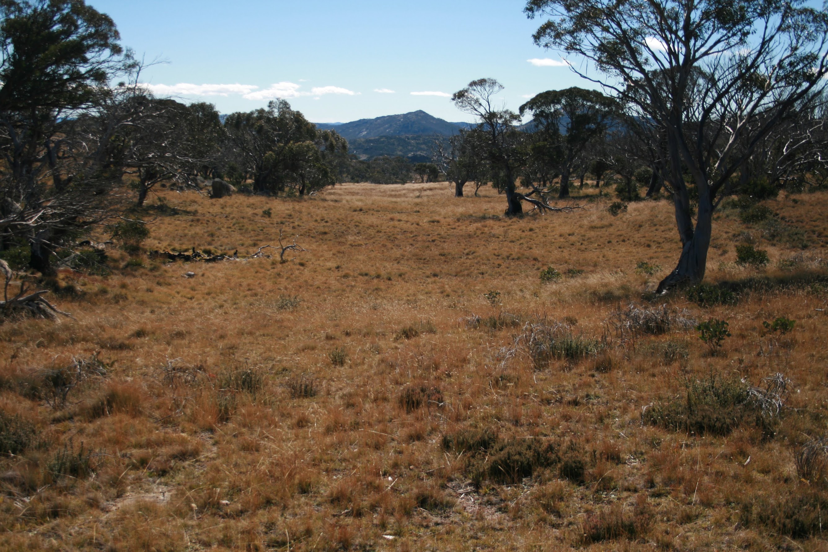
We started walking at 8.50am from Rowleys Hut, having been able to drive right in to it. Shocking navigation as I too soon left the open flats of Old Yaouk Creek and headed into the timber, got fooled into thinking a couple of little drainage lines were the creeks draining the W side of Mt Scabby, and so headed directly and steeply up to the headwaters of Porcupine Creek. Still, another 300m climb took us to the open sub-alpine ridge around 600m N of the marked Mt Scabby and we sidled around the NW bump of the Scabby tops. Great views to the W as the timber melted away, with the Old Yaouk Creek flats below and Mt Morgan, Mt Murray and Bimberi Peak marching away to the N on the other side. The Lone Pine Trail was clearly visible. Jacks Clearing was prominent to the SE of Mt Murray. To the SW, the open Yaouk Valley stretched away with the road we'd come in on. We puffed up the final ascent to the marked Mt Scabby, arriving at 11am (3.9km with 630m climb in 2hr 10mins to here).
The view from here (and subsequent views and locations around these open tops) makes this one of the most wonderful places I have visited in NNP! There was so much to take in! Right at hand was a cairn (my GPS registered 1800m - official height 1798m) and a border marker situated by a small, wind-tortured snow gum. The border marker at Mt Scabby is BM I80, ACT Heritage Register Site 121 (see here). Just to the N a few metres down from the granite top was, to my mind, a most unnatural arrangement of large stones. Next to grab my attention was the source and course of the Cotter River. To the N around 0.8km away was a boggy area with plant recovery covers spread about (see pic 1) - just like Rotten Swamp. The river dropped away and, in the distance was the end of the Kelly Spur, the saddle and up to Mt Kelly, Mt Namadgi behind, the top of Sams Creek, SH1733 with Mt Burbidge behind. These were framed in the open valley of the top of the Cotter River. Further to the E were the other knolls of the Scabby tops and there was discussion as to which was the highest. At least with the GPS we could compare relative heights. Above the saddle at the very top of the Cotter we could see Sentry Box Mountain and Rock, then across the flats of Bradleys Creek and the Yaouk Road to Yaouk Peak. Magnificent! To the W the view was as before and, far to the N, was the uniform western slope of Tidbinbilla Mountain. Way down to the SW was Mt Jagungal. Much camera snapping and morning tea for 20 minutes.
We next wandered around 200m to near the saddle at the top of the Cotter River (see pic 2). The peak at the S end of the Kelly Spur lay directly down the line of the valley. A lovely open grassed area, flanked by a few gums. I did my bit by ceremonially adding my little dribble to the top of our drinking water.
We next headed round to the obvious high point in the SE of the area. It was one of the high points I'd visited on 9 Jul 06, but not seen much from. The GPS solved today's question and (although not labelled Mt Scabby on the map) proved Keith T to be correct - this point came in at 1810m. The border marker at this first 1810m high point is BM N80, ACT Heritage Register Site 125. The distance from morning tea on the mapped-marked Mt Scabby was 0.7km. The view from this point is excellent too, looking E across to Mt Gudgenby.
Just before and after this point are two rather phallic-looking (depending, of course, on one's outlook) stone arrangements, including central columns of granite around one metre high. Perhaps they are border markers M80 and O80.
A further 150m to the N we topped another high point, again registering 1810m on the GPS. Its border marker is possibly BM O80, ACT Heritage Register Site 126. Another fabulous camera stop, with views from N through E to S including Kelly Spur, Mt Kelly, Mt Namadgi, SH1733, the (other part of the) Scabby ridge to the 1700m feature we did with Jeff B on 5 Apr 08 - some in today's party say this is called The Fortress. Round to Mt Gudgenby and the bare knolls to the SE which provide an exit down to Sams Creek fire trail. Further out we could clearly identify Sentry Box Mountain and Rock. Back to the NW we again saw the plant coverings in the Cotter River bog and the NW top of Scabby that we'd sidled around on our entry to the area.
We continued N along the E ridge of the Cotter dip, with excellent views back behind us to the 'actual, map-marked' Mt Scabby and the W-facing little cliff of one of the E high points. Lovely, open, sub-alpine walking! We came upon yet another border marker, this time Q80, ACT Heritage Register Site 129. I'd seen a little circular base in a border marker near The Fortress and now Jenny showed us what was at the centre of the markers - a little cylindrical metal container/marker. An unnamed member of the party moved the border by extracting the cylinder for us all to have a peek but, thankfully, returned this separation of ACT and NSW to its exact place. As Jenny says, it's interesting to be walking north, but have NSW to the east and the ACT to the west.
At this point we decided to press on to the Scabby tarn, so generally followed the ridge line just E of N, first down through a saddle then up a knoll from which we could see the brown of the Scabby tarn. From here we went down to through SH1618 and to the tarn for lunch (see pic 3). We arrived at 12.50pm, the leg from morning tea being 3km and taking 1.5hrs with all the viewing stops. Unfortunately the tarn was dry, so I'll have to return (see here and here for pics of it in its glory). 30 mins for lunch.
With plenty of time remaining for the return leg we set off at a more relaxed pace than our inward/upward leg, down the drainage line to the NW to the Cotter. It was down here that we had to go 0.7km to get water on our 8 Jul 06 camp and carry 20 litres back up. The area drops in terraces and we soon found running water. At a convenient point a sidle around the knoll on our left and down through close scrub to cross the Cotter River. The vegetation was close at this point, but the water pristine. From here, generally SW up to the saddle near SH1665, continuing to a convenient place to minimise the down and up to cross Porcupine Creek. Back down the way we came up, breaking out onto the open flats a little sooner and coming across a rude hut which some others in the party had previously seen. Up the flats of Old Yaouk Creek and so to the cars. The return leg from the Scabby Lake was 5km and took 2.5hrs.
A combination of party membership, weather, views and the wonderful sub-alpine Mt Scabby tops area made this one of the best day walks I've done. It was a fantastic day. Thanks to Alan, Brian, Henry, Jenny, Madeleine, Max and Philip for your company. And thanks to Peter W for 'pinching' his walk and giving me some hints.
BTW - what did you think I did in the source of the Cotter River?? I recharged your drinking water by tipping a little of my Canberra tap water from my drinking bottle into it.
Distance: 12.0km Climb: 750m. Time: 8.50am - 4.00pm (call it 7.25hrs) with 50mins of stops.
Grading: M/R,X; H(12)
KMZ file for Google Earth/Maps: Mt Scabby from Yaouk including source of the Cotter River