

1 January 2010 Border Markers N of Gungahlin
Map: Hall 1:25000
Getting There
This walk was organised and led by me as a private walk:
Friday 1 January - Border Markers N of Gungahlin - M/E-M,ptX. A half-day wimpy wander around the northern section of Mulligans Flat Nature Reserve, then to Goorooyarroo Nature Reserve to do from Old Joe Hill to the Federal Highway. Around 13km and 200m climb. Map: Hall.
Photographs
Access all primary pics here. All thumbnails in the walk report are active - click for a larger picture.
Walk
|
|
| track a | track b |
The first walk was a circumnavigation of the northern area of Mulligans Flat Nature Reserve, which is separated from the main NR by Mulligans Flat Road. With a Christmas presso of all the ACT border marker locations from Alex P at ACTPLA, I visited the locations of C2 E and S to Z2. Of the 24 corners, 4 were recognisable as markers (F2, H2, K2, S2):
 |
 |
 |
 |
| F2 | H2 | K2 | S2 |
4 were possibly markers (C2, L2, O2, Q2):
 |
 |
 |
 |
| C2 | L2 | O2 | Q2 |
The remaining 16 (D2, E2, G2, I2, J2, M2, N2, P2, R2, T2, U2, V2, W2, X2, Y2, Z2) were not recognisable.
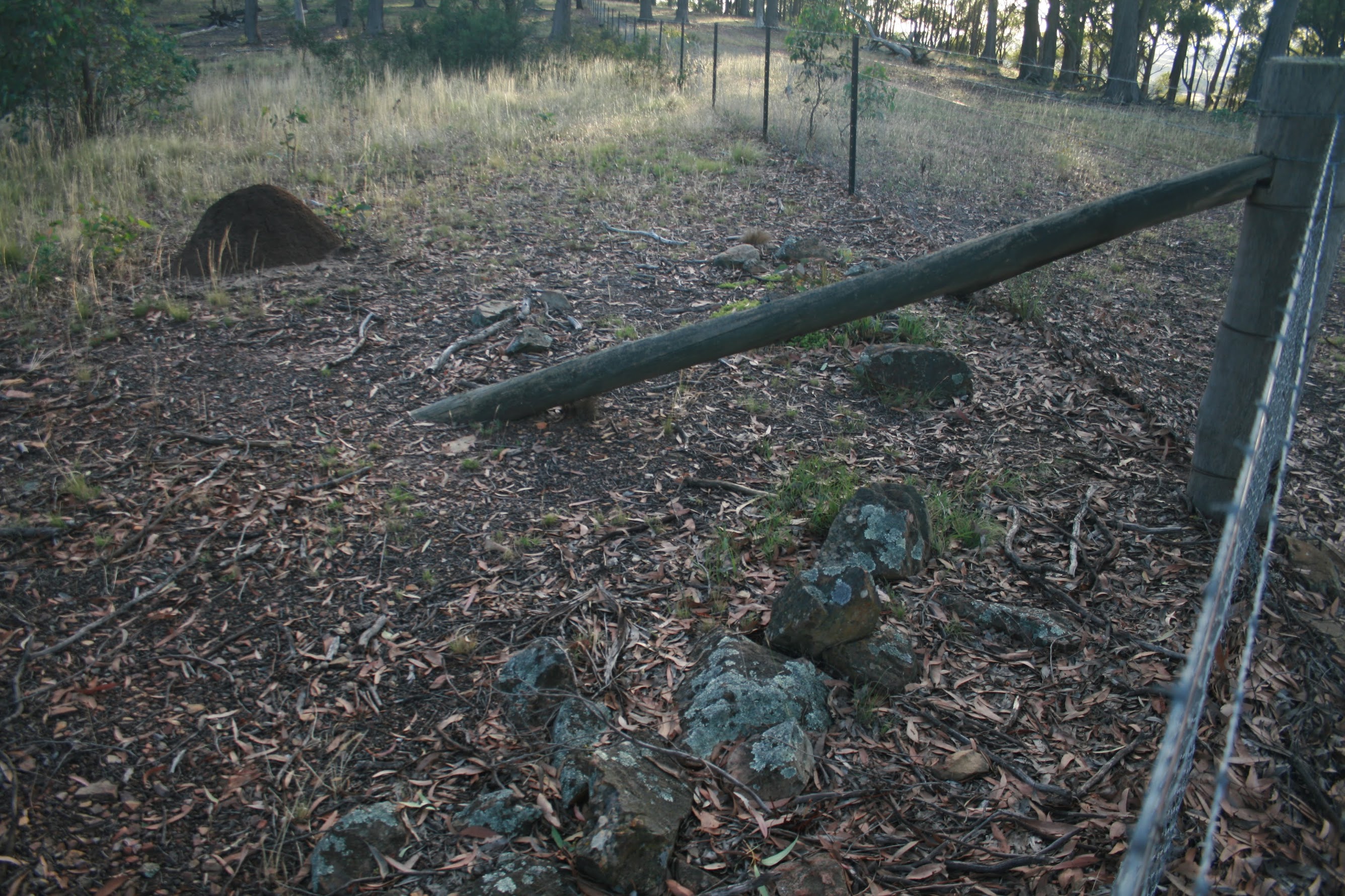
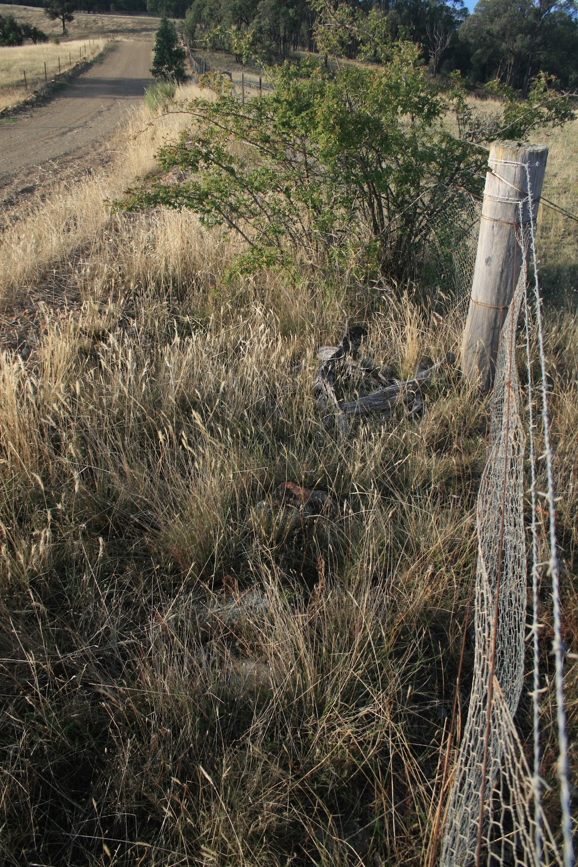
The second walk took me into Goorooyarroo Nature Reserve, particularly looking for ACT Site of Significance GH18, which consists of border marker X4 and the 13 Mile marker. X4 was easily identified, still sporting its surveyor's arrow but the 13 Mile marker, if it ever consisted of stones, is now spread along the fence line to keep animals from burrowing under:
 |
| X4 - SoS GH18 |
I also covered E to the Federal Highway and N to T4 on the flank of Old Joe Hill. I met a land owner who said that he'd often come across the below-ground portions of border marker pegs (where above ground has been burnt) when fencing.
There are 10 corners from T4 to C5, plus the 13 Mile marker. 3 were recognisable:
 |
|
 |
| T4 | X4 | B5 |
2 were possible (including a new survey peg lying near C5)
 |
 |
| W4 | C5 |
The remaining 6 markers (including the 13 Mile marker) were not recognisable.
 |
 |
A shingle-back lizard minding its own business around V4.
Old Joe Hill behind me as I returned to the car. |
| Lizard | Old Joe Hill |
Distance: 12.6km Climb: 350m. Time: 6.00 - 10.10am, with 15mins driving in between.
Grading: M/E-M,ptX; M(8)
KMZ file for Google Earth/Maps: Border Markers N of Gungahlin (password protected)
Back to Walks Index
This page last updated 10Aug22