

16 January 2010 Border Marker Hunting in the Brindabellas
Maps: Brindabella and Corin Dam 1:25000
Getting There
This walk was organised and led by me as a CBC walk:
Saturday 16 January - Border Marker Hunting in the Brindabellas - L/R, ptX. Everyone should experience the joy of border marker hunting. From Aggie Gap to Mt Franklin to the northern slopes of Mt Ginini. Then east to upper Ginini Falls, around Ginini Flats and back along the Mt Franklin Road. Around 17km and 700m climb, shortened if hot (see Walks Waffle in previous it). Maps: Brindabella and Corin Dam. Leader: John Evans - jevans@pcug.org.au, (h) 6288 7235. Transport: ~$55 per car.
8 of us met at 6.30am (well, one a little later) and we drove via Uriarra Road, Brindabella Road and Mt Franklin Road to Aggie Gap.
Further Information
Lots of interesting information about border markers can be found on my ACT-NSW Border Markers page.
Photographs
Access all primary pics here. All thumbnails in the walk report are active - click for a larger picture.
Walk
|
|
| track a | track b |
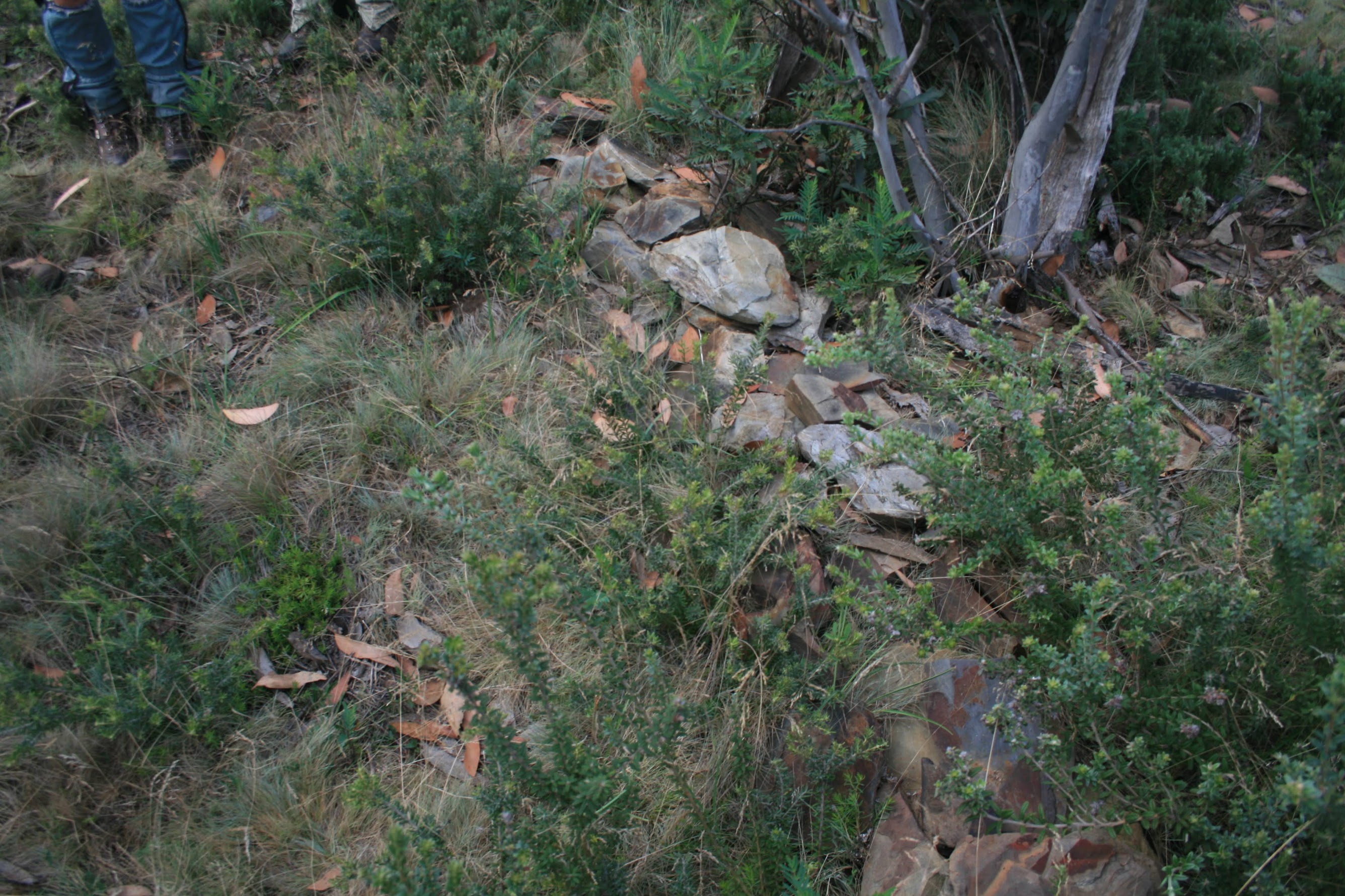
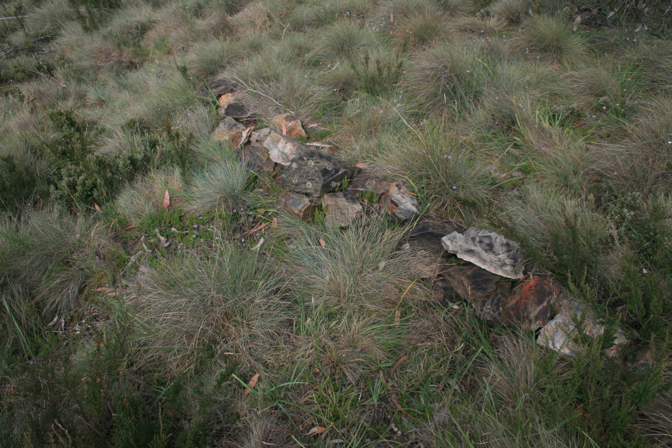
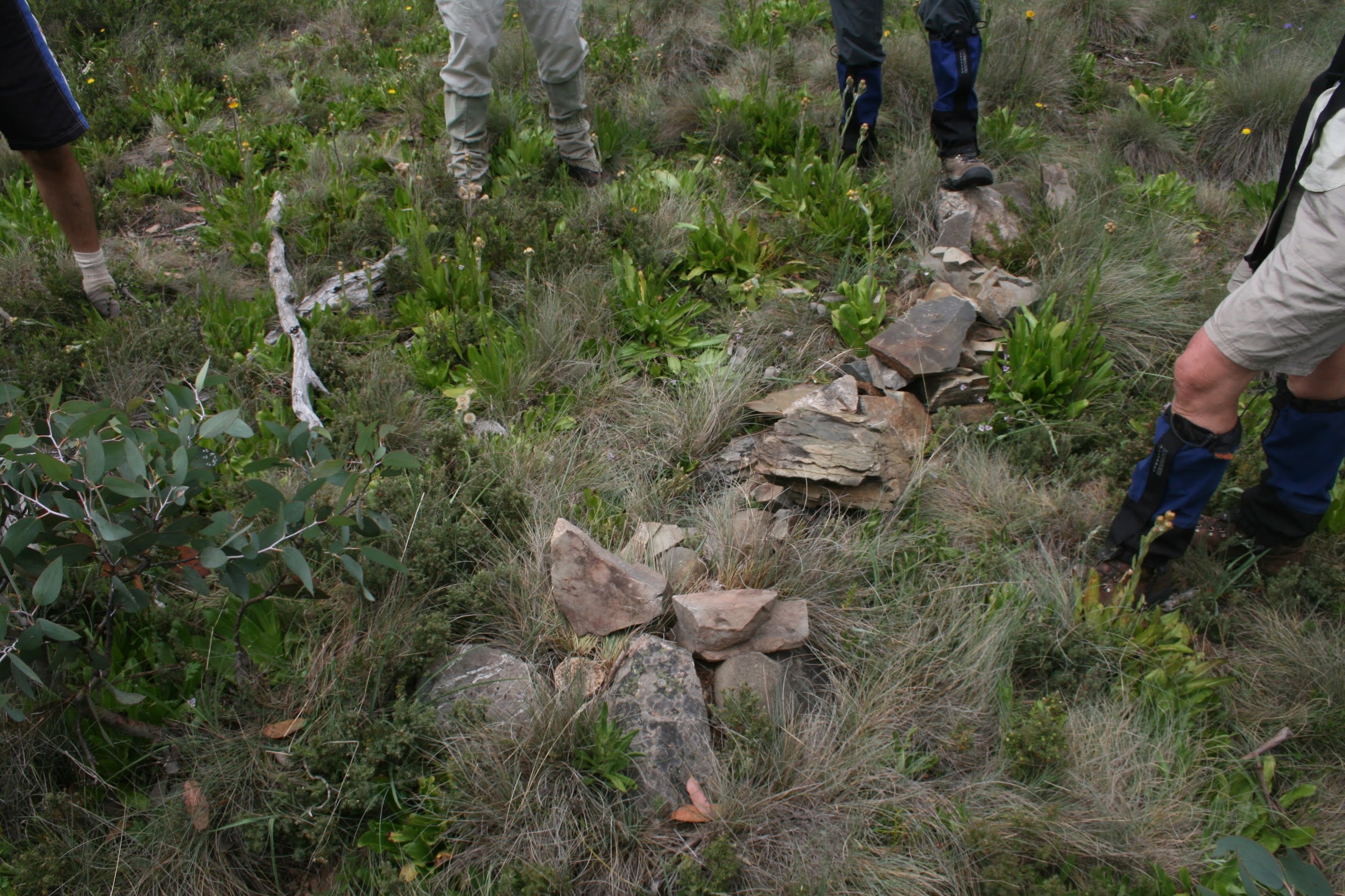
About 1 hour to get to Aggie Gap. We shook ourselves out, shook the GPS out (Santa - I need a new one) and headed up the spur towards Mt Franklin. The best scheme for hunting was that when the lead party member found a marker, they dropped to the rear of the pack. Individual honesty counting for bags, with a prize for the most on the day. But it degenerated later in the day to the blokes out front and the girls happily chatting. The finder also 'pointed the finger' to the border corner marker - try to match the fingers and legs with the participants. However everyone showed sufficient interest to be invited again (whether they will take up the invitation is another matter). 8 markers (not one alluded us) found on this leg. A55 - H55:
 |
 |
 |
 |
| A55 | B55 | C55 | D55 |
 |
 |
 |
 |
| E55 | F55 | G55 | H55 |
We left the border and visited the Mt Franklin trig, then wandered down the path to the top of the old ski slope to view the old Austin A40 ski tow.
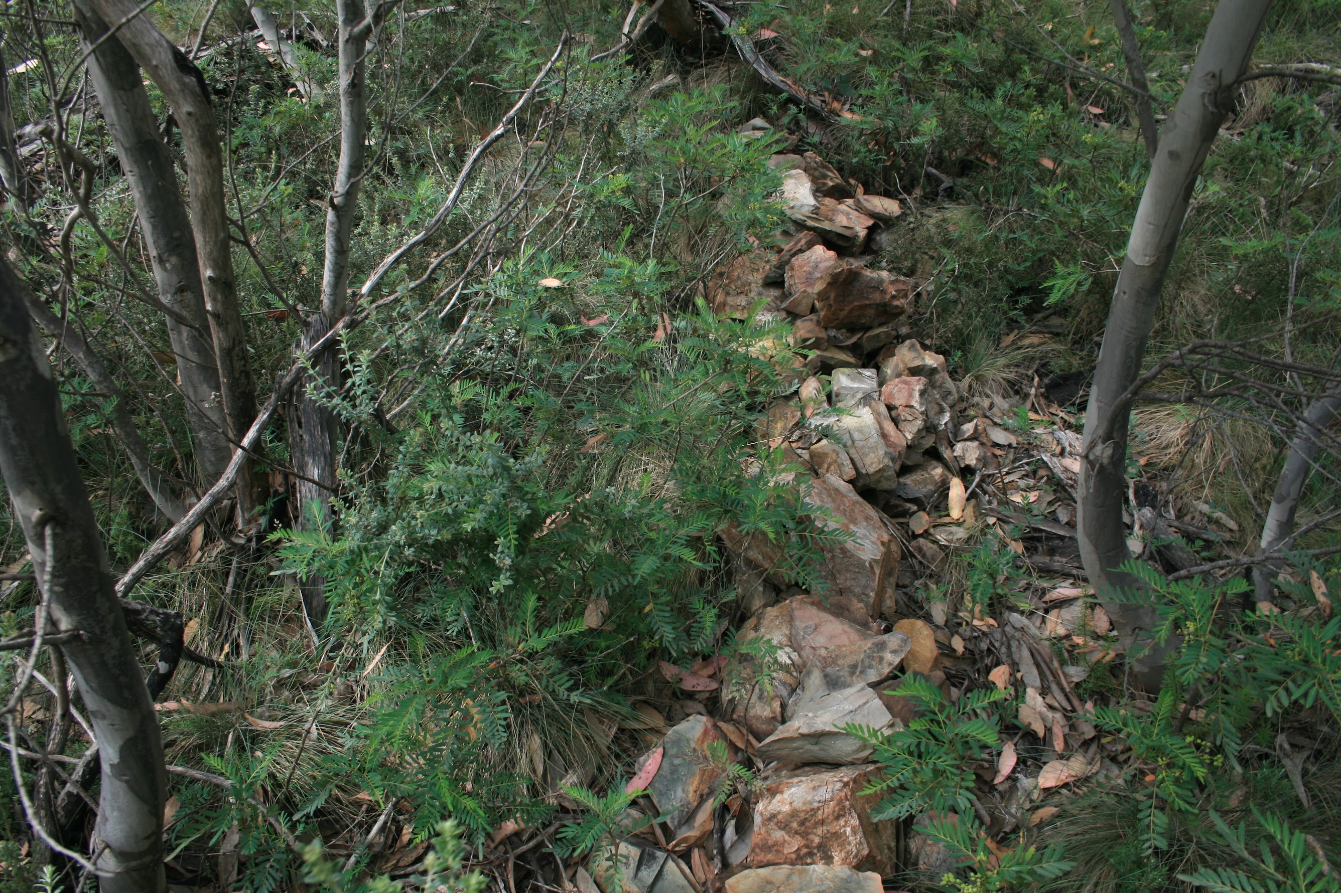
Back on track, the next leg from Mt Franklin trig, via the new survival shelter and signage, the old Mt Franklin Ski Chalet site and Bill Ginn's Hut site to the Mt Franklin car park yielded 12 border markers plus 1 mile marker. Again, not one alluded us. I55 - T55 plus 15 Mile:
 |
 |
 |
 |
| I55 | J55 | K55 | 15 Mile |
 |
 |
 |
 |
| L55 | M55 | N55 | O55 |
 |
 |
 |
 |
| P55 | Q55 | R55 | S55 |
 |
|||
| T55 |
 |
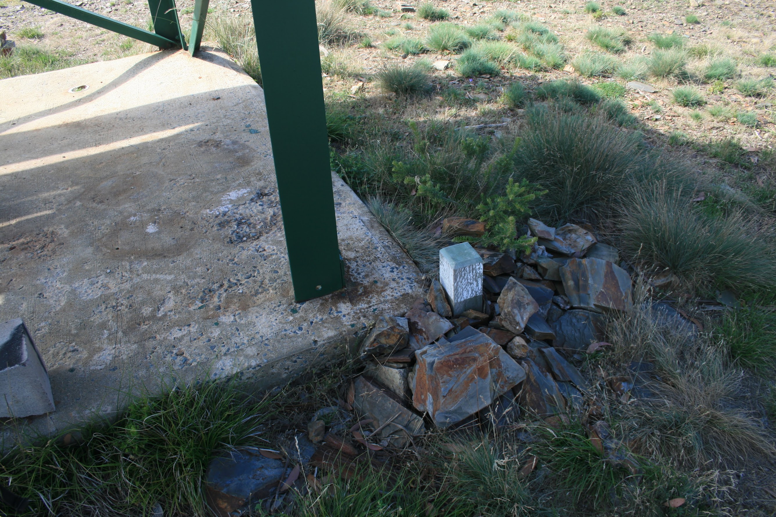
You can see from the above photo that R55 is positioned at the corner of the new tank stand. We had a good poke around the signage at the shelter (Mike correctly pointed out that there's a photo of the Gudgenby trig mislabelled as Mt Gingera), then decided to enjoy morning tea. Bill Ginn's Hut site and signage is just by the metal walk into the shelter.
Heading through the gate towards the car park, we spied two ladies. One turned out to be Fi B from church and the other a work colleague who has just joined CBC. Small world. T55 is slap in a pile of tree and dirt separating the car park from Mt Franklin Road - I'd never noticed it before. |
| Bill Ginn's Hut |
The final leg of border marker hunting took us from the Mt Franklin car park up the spur towards Mt Ginini, topping at SH1691 and SH1693 and down to marker I56 which we'd found on 18 Apr 09. In all 14 corner markers (not counting I56) and 2 mile markers. None escaped us. U55 - Z55, A56 - H56, plus 16 Mile and 17 Mile:
 |
 |
 |
 |
| U55 | 16 Mile | V55 | W55 |
 |
 |
 |
 |
| X55 | Y55 | Z55 | A56 |
 |
 |
 |
 |
| B56 | C56 | D56 | 17 Mile |
 |
 |
 |
 |
| E56 | F56 | G56 | H56 |
 |
 |
 |
The 16 Mile marker and V55 were adjoining.
Some nice open patches approaching SH1693 from the N, but acres of burnt Snow Gum over the crest. Several of us commented that the ACT's floral emblem seems to grow bigger and more deeply coloured in the hills when compared with those in Canberra. For information on the ACT's floral emblem Royal Bluebell (Wahlenbergia gloriosa) - see here. |
| 16 Mile and V55 | Heading towards SH1693 N of Mt Ginini | ACT's floral emblem Royal Bluebell Wahlenbergia gloriosa near SH1693 N of Mt Ginini |
Having completed our hunt, we turned E and wandered down to above the upper Ginini Falls for lunch. After munchies we headed S across Ginini Flats and up to the Mt Ginini car park. Up the old ski slope to the summit road, avoiding the black snake, and to the complex at Mt Ginini. Found a couple of radio operators setting up an aerial for their weekend 'make contact with as many others as you can' exercise.
NW off the top and down to the Mt Franklin Road, then a 6.3km bash in 1hr 15mins back to the cars. The thunderstorm rolling in beat us by about a minute.
Back at home, to avoid any comparisons, beer drinking border marker baggers were awarded a bottle of Johnny Boy's dark ale home brew (Grolsch bottles to returned please folks). 34 border markers and 3 mile markers bagged!
Thanks for your company and great border marker hunting skills Sally A, Mike B, Roger E, David and Meredith H, Jacqui R and Mark S.
Distance: 16.2km Climb: 700m. Time: 7.50am - 3.15pm (call it 7hrs 30mins) with 50mins of stops.
Grading: L/R,ptX; H(13)
KMZ file for Google Earth/Maps: Border Markers between Aggie Gap and N of Mt Ginini
Back to Walks Index
This page last updated 11Aug22