

5 (recce) and 10 Jul 2010 'Show Us Your Limits' Talk and Walk - Border Markers on the N Urban Fringe - Goorooyarroo Nature Reserve
Map: Hall 1:25000
Getting There
This walk was organised and led by me as a CBC supported event for the ACT Government:
Saturday arvo 10 Jul - 'Show Us Your Limits' Talk and Walk - Border Markers on the N Urban Fringe - Goorooyarroo Nature Reserve - S/E. Following the successful Talk and Walk at Mt Franklin, the ACT Government has requested that CBC conduct another. Join Alex Petrow (Senior Surveyor ACTPLA) and me for a wander in the Goorooyarroo Nature Reserve to visit a wonderful 100 year surviving original border marker post. All welcome. CBC members - one CBC member is required for every 6 members of the public participating, so join me in providing general shepherding and witty repartee. Or just sign on for the walk. Around 3 hours walking. Meet at the entrance to the Goorooyarroo Nature Reserve on the north side of Horse Park Drive, half way between Gungahlin and the Federal Highway at 1pm. Map: Hall. Leader: John Evans - jevans@pcug.org.au, (h) 6288 7235. Please book with me. Transport: Please drive yourself.
36 of us met at the Goorooyarroo NR car park.
Further Information
Meet at 1pm on Saturday 10 July at the entrance to the Goorooyarroo Nature Reserve. This is on the north side of Horse Park Drive, about half way between Gungahlin and the Federal Highway. Join members of the Canberra Bushwalking Club for a walk through open bushland, climbing to the ridge line to see a 100 year old wooden border marker post. It's the best one on the entire ACT border. A further short climb to Old Joe Hill for sweeping views over the north of Canberra. Return via the source of Sullivans Creek (which flows through the ANU into Lake Burley Griffin). The walk is estimated to take 3 hours and is around 6km long, with a climb of 250m. Expert commentary from Alex Petrow, Senior Surveyor ACTPLA.
Although the walk is on management trails and across open grassland and hill sides, you should wear closed-toed shoes or boots. Do rug up, as it will be cold in the breeze on top of Old Joe Hill. Bring all your gear in a back pack, including a little water and afternoon tea – perhaps to share. Just check the weather forecast on Saturday morning – at the moment it’s ‘Increasing cloud, maximum 14°’. But the walk is on, come rain, hail or shine.
Expert commentary will be provided by Alex Petrow, Registrar for the Surveyor-General of the ACT. The walk is conducted by the Canberra Bushwalking Club and we take your safety seriously. Before the walk starts, each participant needs to sign an Acknowledgement of Risks and Obligations form (see here if you’d like to preview it). We ask that everyone sticks together and walks as a group – doing that we can also chat and ask Alex questions.
Don’t forget to bring your camera to snap that winning photo for the ‘Show Us Your Limits’ photographic, short film and digital media competition – you could win $500. Further details here.
Photographs
Access all primary pics from 5 Jul 10 here, and from 10 Jul 10 here. All thumbnails in the walk report are active - click for a larger picture.
Walk
|
|
| Track Talk and Walk Border Marker X4 and Old Joe Hill recce | Track Talk and Walk Border Marker X4 and Old Joe Hill |
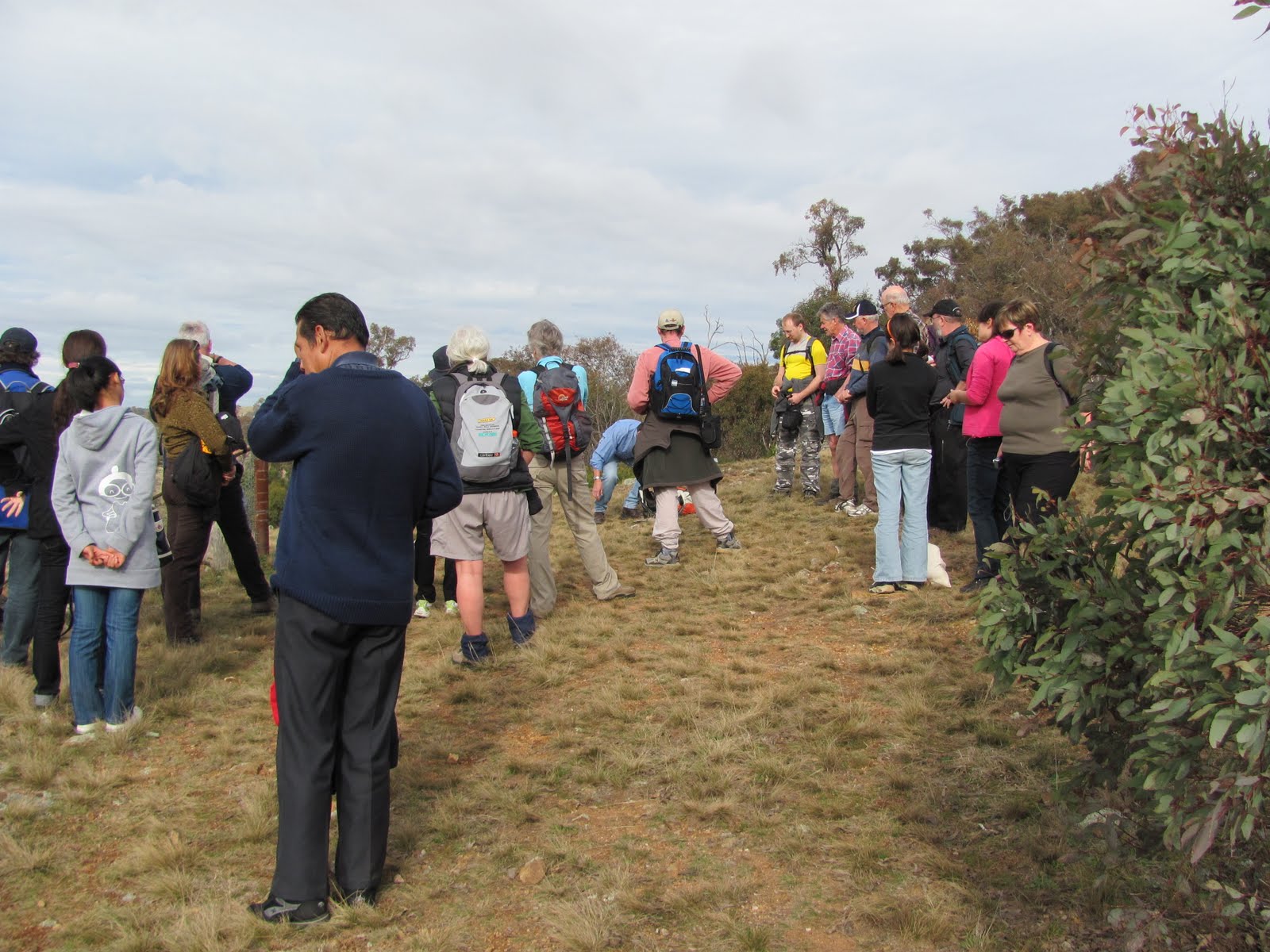
A happy crew as we gathered a few tens of metres up the track, just to get away from the road noise so Dan could start proceedings and Alex brief us. We then dispatched the flat bit, stopping at the Goorooyarroo Nature Reserve signage to take it in and hear more from Alex, and wandering right and left around the kanga fences and through the gate onto the N-S management road.
 |
 |
| 1 The party gets a briefing from Alex | Walking the kanga fence in Goorooyarroo Nature Park |
At last the time came for us to leave the flat and head up. Everyone did excellently and we skirted the dam, zigged up the ridge and crested it near the border fence. A few steps back to border marker X4 and great views E to the Federal Highway and SW to Canberra. Alex shared further information about the border survey and techniques and we snapped many photos.
 |
|
| Gathering at border marker X4 | 2 Alex and the party at border marker X4 |
Our next leg took us N along the fence and up to Old Joe Hill (possibly named after a survey party chainman) and its trig. Time for arvo tea - I did fabulously, scrounging here and there (thank you all). A high standard to follow - serviettes. Again, Alex told us about the trig and we enjoyed the panoramic views.
 |
 |
 |
| Wandering up Old Joe Hill | Mike receives yummy and serviette at arvo tea on Old Joe Hill | Alex briefs us on Old Joe Hill trig |
The day had been overcast and now the breeze came up a little, so it was time to head for home. W off Old Joe Hill with Sullivans Creek below and across our front. Down to the N-S road and a bit of cross country grasslands as we cut a corner and rejoined the track back to the car park.
 |
| 3 Homeward bound |
Feedback was again positive. We had Peter Dowling in the party and he kindly offered to provide the patter for yet another outing. Dan, ever a glutton for punishment, agreed - Mr Stanhope, your Community Liaison Officer deserves a pay rise. So watch this space - we'll have a third Talk and Walk sometime in August, again to the northern urban fringe ... and with an additional little surprise.
Thank you to everyone who came along. Trust you enjoyed the afternoon. Special thanks to Alex Petrow for the interesting surveying background, Dan Watters for facilitating the whole affair, and to Mike and Stas from CBC for obviously skillful shepherding - we didn't lose anyone.
A nice write-up by Alex in the ACTPLA INHOUSE newsletter, with a photo of us all here.
Distance: 6.8km Climb: 200m. Time: 1.00 - 4.15pm (3hrs 15mins)
Grading: S/E; E(7)
KMZ file for Google Earth/Maps: Talk and Walk BM X4 and Old Joe Hill
Back to Walks Index
I did a little recce on Monday arvo 5 July 2010. Drive to the entrance of the Goorooyarroo Nature Reserve on the N side of Horse Park Drive. Quicker through Franklin and Harrison (if you can find the way) than via Gungahlin.
Photographs
Access all pics here. All thumbnails in the walk report are active - click for a larger picture.
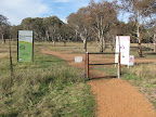
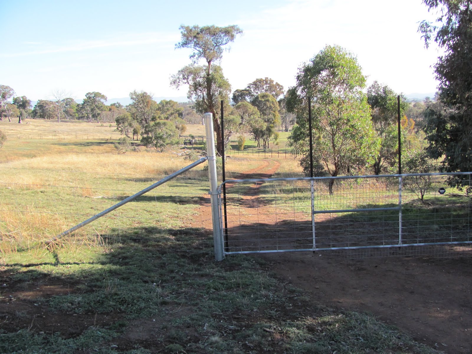
A gentle stroll up the track past the signage. Many ways of getting there - follow the track round to the right, through the gate and round onto the longitudinal gravel road that runs through the NR. N along the road to the fence line going up E. Go up the N side to the gate. Switch to the S side of the fence, SE round the fence protecting the pond, then up the hill to X4.
 |
 |
 |
 |
 |
 |
|
| Goorooyarroo track | Goorooyarroo signage | Goorooyarroo track | Goorooyarroo gate | Goorooyarroo gate | Old Joe Hill | View from near X4 |
From X4, follow the fence line N up to Old Joe Hill and its trig. When the view has been consumed, follow the fence line W down the spur to the perpendicular fence. Views to Sullivans Creek from the flank of Old Joe Hill as it makes its way towards tertiary education. Go a few tens of metres left to the gate, through it and angle down to the N-S gravel road. Follow the road S to the fence line used to go up but, this time, go through the gate on the right (W) and down through the heavy tube climb-through. Angle across to pick up the entrance track.
 |
 |
 |
|
| Panoramic view from near X4 | Old Joe Trig | Entrance to Goorooyarroo | |
 |
 |
 |
 |
| Panoramic view from Old Joe Trig | Sullivans Creek from flank of Old Joe Hill | Goorooyarroo gate | Goorooyarroo gate |
Distance: 6.6km Climb: 200m. Time: 1.00 - 2.45pm (1hr 45mins) with a stop to take photos at X4.
Grading: S/E; E(7)
KMZ file for Google Earth/Maps: Talk and Walk Recce
Back to Walks Index
This page last updated 20Aug22