30 April 2011 Mt Gingera, Little Ginini & Mt Ginini
Map: Corin Dam 1:25000
Getting There
This walk was organised and led by Phillip S as a CBC walk:
Saturday 30 April - Mt Gingera, Little Ginini & Mt Ginini - L/M. From Ginini car park at end of Franklin Road we will walk along fire trail to Pryor’s Hut then off track to Mt Gingera (great views) then down footpad to fire trail and back to Pryor’s Hut. From here off trail again to Little Ginini and Mt Ginini then short walk down to car park for return home. Around 15 km and 620 m climb. Map: Corin Dam Leader: Phillip S. Transport: $50 per car ($13 - $17 per person).
15 of us met in town before 7am and we picked up 2 more at Uriarra Crossing. We drove to the gated-off end of the Mt Franklin Road at the Mt Ginini car park.
Further Information
The first of many walks Phillip will be leading. Come along and support him and drink in the views.
Photographs
You can also access all photographs here.
Walk
| Track maps: thumbnails are active - click for a larger picture | ||
|
|
|
| Track overview | Track 1 | Track 2 |
The classic route, wandering up the rehabilitated ski run to the Air Navigation Facility at Mt Ginini, down the ski run to the S (spotting border marker X56 and the nearby 19 Mile marker) then continuing generally along the border to Stockyard Gap. From here, up the hill to Little Ginini Mountain. Unfortunately the weather was not kind to us and the views were clouded in, with a few light showers.
At border marker M57 just by Little Ginini, Mike B pointed out a dead, fallen large tree which might include the blaze for this border marker. It was a fair way away from the lovely lockspit containing the rock-boxed 1" galvanised pipe as the marker, but I took a GPS fix. Back at home, I looked up Mouat's original survey notebook (digitised and on the ACTPLA web site here, page 8b of the notebook). He recorded the blaze at 55.86 links distance and an angle of 90°27'. Using the formula kindly provided by Alex P of ACTPLA and the known location of M57, this translates to the location UTM 55H 660991.657-6063947.031 (GDA94). Now the location I recorded on my GPS for the tree was UTM 55H 660993.3- 6063951.0 (GDA94). So the difference is 2mE+4mN – close enough for me! Thanks Mike.
From here we went down SSE to Pryors Hut, via the lovely O57 and P57 3" downpipe and cairn border markers. Morning tea here.
Next, along the Mt Franklin Rd to the walking track turnoff to Mt Gingera. A lovely climb up through the misty Snow Gums to the real Mt Gingera (recognised by the NSW State Mapping Authority and marked by Mouat as border marker W57). Sadly, no views. Lunch here. We celebrated Phillip's first-led CBC walk and his 50th peak in the CBC 50 Peaks in 50 Weeks event - congrats Phillip.
After lunch we went a hundred metres S to the guyed pole (seemingly recognised by the National Mapping Authority as Mt Gingera, Mouat's border marker X57). Some of us then went NW along the Gingera ridge and some returned to Pryors via the walking track. A border marker which I didn't recognise or have in my GPS was the 22 Mile marker.
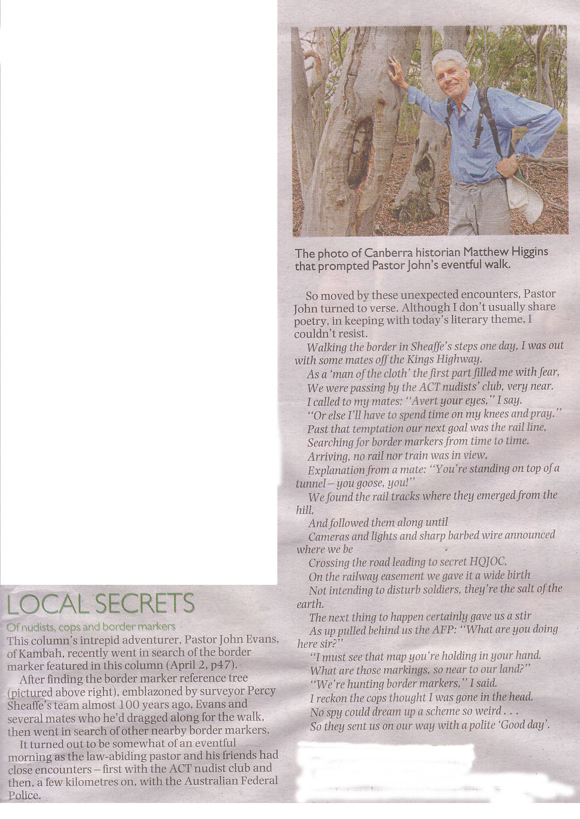
Regrouping at Pryors Hut, we walked out the Mt Franklin Road. Some goon attempted to spoil the day by a poetry reading from Tim the Yowie Man's column in the day's Canberra Times - see below.
A brief stop on the way out to look at the Mt Franklin Road 7½ Mile marker.
A pity about the views. To see what was missed or to encourage you to go back, have a look at the pics with walk reports 5 Feb 11, 12 Jun 10, 19 May 09, 14 Apr 09, 21 Mar 09, 17 Mar 09, 3 Jun 08, 4 Jul 06, 25 May 05.
A great walk led by Phillip S as his first-led CBC walk - here's to many more! An excellent party consisting of 11 CBC members Chris F, Diana K, Edwina Y, Llewellyn S-P, Lorraine T, Mac K, Mike B, Russ H, Stephen M, Phillip S and John E. 6 Visitors - Claire, Evan, Katie, Kim, Lily and Mimi.
Distance: 15.1km Climb: 620m. Time: 8.45am - 2.30pm (5hrs 45mins), including 45mins of breaks.
Grading: L/M; M(10)
KMZ file for Google Earth/Maps: Mt Gingera, Little Ginini and Mt Ginini
Postscript. Poetry abounds in CBC at the moment. Seeing Phillip's personal achievement of 50 peaks, Nerolie P penned this little ditty:
Over the mountain very tall
The Starr has come to conquer all
His foe defeated, Oh good ‘evans
And evermore his foe shall fall.
The sword is sharp, the spear is long
The arrow swift, the pastor strong
The avid charismatic wrong,
The Starr is stronger than young John
The mountain throne has been decreed
Oh wandering folk the good news heed
After climbing mountains for many weeks
We have a hero of 50 peaks.
(adapted from Tolkein)
Nerolie
Back to Walks Index
This page last updated 26Aug22