4 August 2012 WBB #10 Kambah to Hall via the proposed Canberra Centenary Trail
|
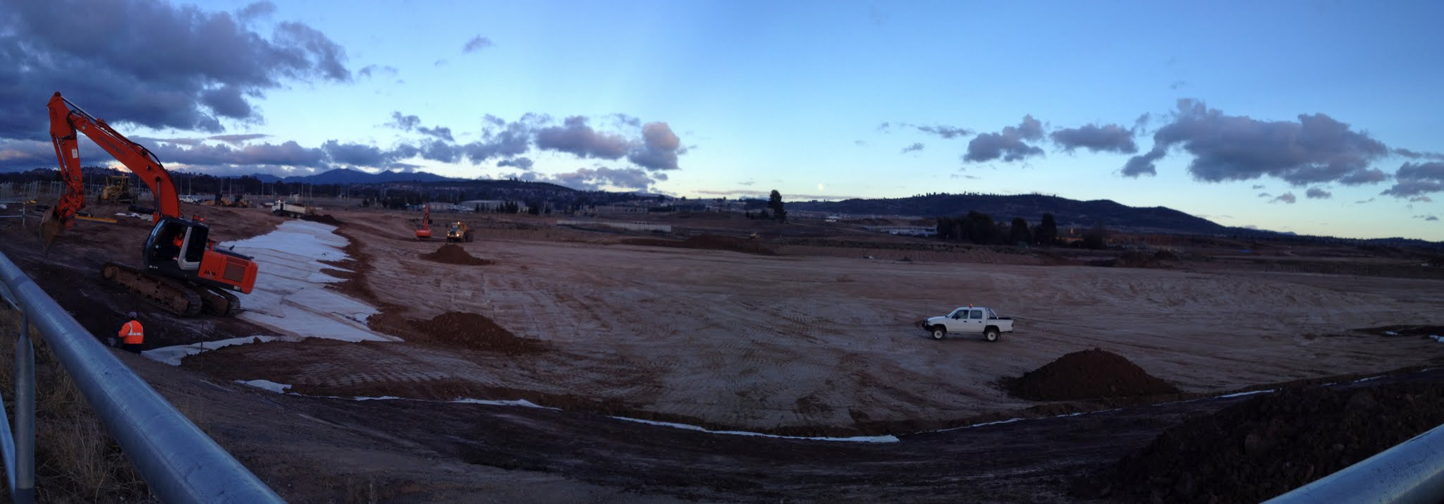
| Moonset over earthworks at Weston Ponds in the Molonglo development |
Maps: Canberra and Hall 1:25000
Getting There
This walk was organised and led by Rob and Jenny H as a CBC walk:
Saturday 4 August - WBB #10 Kambah to Hall via the proposed Canberra Centenary Trail - L/E. Kambah - Hall via the new Centenary Trail. A little over 30 km. Maps: Canberra, Hall. Leaders: Jenny & Rob H. Transport: $5.
Further Information
WBB #10. Thank goodness #1 hasn't been repeated. This WBB covers Sections 4, 5 and half of 6 of the Canberra Centenary Trail.
Photographs
You can access all photographs here.
Walk
| Track maps: thumbnails are active - click for a larger picture | ||||
 |
 |
 |
 |
 |
| Track overview | Track 1 | Track 2 | Track 3 | Track 4 |
 |
 |
 |
 |
 |
| Track 5 | Track 6 | Track 7 | Track 8 | Track 9 |
A great little walk.
We initially followed pretty much the proposed alignment along the Cooleman Ridge area and along the W side of Duffy. Magnificent full moon walking and a huge painted sky at sunrise.
Then, because Molonglo is still a construction site and so is the Arboretum except on Sundays, our fearsome leaders had to be a bit inventive. A pause for breakfast on the bike path at the back of the Australian Defence College. A couple of us scouted the low level concrete bridge over the Molonglo where it was thought the Trail might cross (seems this is not the case and it uses the ford 500m further downstream). We actually crossed the Molonglo via the Tuggeranong Parkway - a narrow shoulder! Then along the W side of the River, below the Zoo and to Scrivener Dam. From there, bike paths parallel with Yarramundi Reach and under Glenloch Interchange to its E side, on the SW side of Black Mountain.
Straight up over Black Mountain via the SW spur, ignoring the tracks for most of the way. Morning tea at the top.
Our route down off Black Mountain and through the Bruce Ridge Nature Reserve was made up to give us a more direct line. We went N through the middle of the Black Mountain Nature Reserve, whereas the proposed Trail heads NE to Barry Drive. So we missed the Institute of Sport, heading via Calvary Hospital on the W side of the Bruce Ridge Nature Reserve.
We regained the proposed alignment at Gossan Hill Nature Reserve. Some nice wattle in bloom there. We again deviated through the UC accommodation area rather than along Eastern Valley Way.
Back on track from the John Knight Memorial Park through to the intersection of William Slim Dr and Owen Dixon Dr. We had lunch just after coming off the Ginninderra Drive bridge over the upstream arm of the lake.
We again deviated here and went up the side of Owen Dixon Drive (a few of us had a quick look at the plaques in the commemorative forest in Palmerville), along the Bicentennial National Trail, and along Kuringa Drive.
Back on track for the final bit of the Barton Highway and Victoria St into Hall.
Might have a go at this again, closer to the opening date when, hopefully, the proposed alignment through construction areas is open.
An interesting diversion in Hall, where three of the party addressed their day's calorie imbalance in the warmth of the Wood Duck Inn and the remainder of the party sat in the cool on the side of the show ground with tea and cakes.
We were whisked back to Kambah by designated drivers who arrived with vehicles.
The challenging (for me) news is that, next year, Rob is going to repeat WBB #1, which includes a chest deep wade of the Murrumbidgee River between Kambah and Pierce Trig!
Thanks Rob and Jenny H, and Garry P, Ian W, Jacquie R, Keith T, Lorraine T, Nathan H, Ralph Y, Rob H and Shawn F.
Distance: 35.1km Climb: 600m. Time: 5.30am - 2.00pm (8hrs 30mins), with 55mins of stops.
Grading: L/E; M(10)
KMZ file for Google Earth/Maps: Kambah to Hall
Back to Walks Index
This page last updated 31Aug22