12 October 2013 Canberra Centenary Trail - Duffy to Federation Stone/Worn Boot Bash
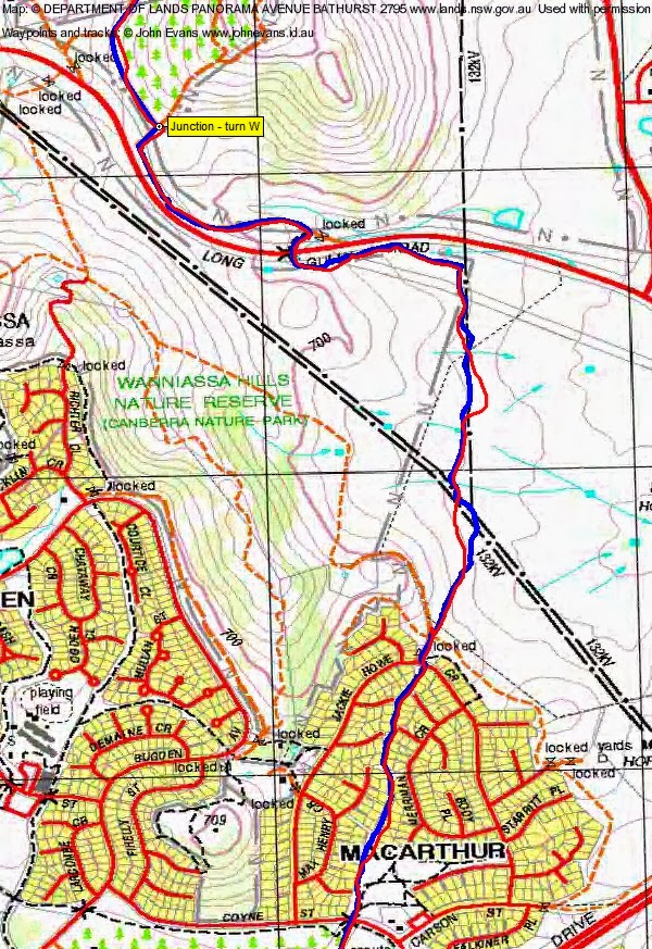
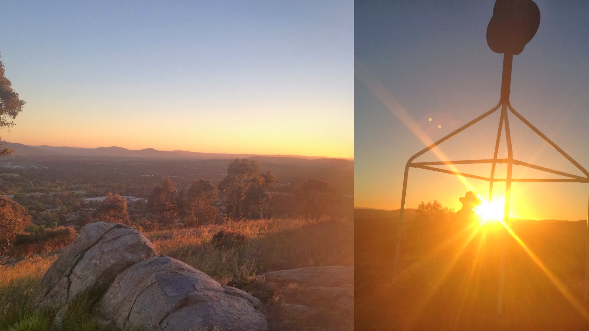 Sunrise from Cooleman trig near the Canberra centenary Trail Maps: Canberra and Tuggeranong 1:25000 Walk Description This walk was organised and led by me as a CBC walk: 12 October: Canberra Centenary Trail (Duffy to Federation Stone)/Worn Boot Bash - L/E. The Canberra Centenary Trail is due to be opened in October. There is more information at http://www.tams.act.gov.au/parks-recreation/recreational_activities/canberra_centenary_trail. Let's get an early look at it by walking it in 3 non-contiguous days. This walk is one of the 2013 CBC Worn Boot Bash walks. Side trips to Narrabundah, Cooleman, Arawang, Wanniassa, YA 90 and Davidson trigs. Around 50km and some climbs. Some walking in the dark involved. Walkers can join and leave the walk wherever they like, but will have to arrange their own transport. At least 30km and 'a few hills' to qualify for WBB. Maps: Canberra and Tuggeranong. Leader: John Evans - john@johnevans.id.au, 0417 436 877. Transport: drive yourself/car shuttle or pickup. 4 of us met at my house. Further Information A possible opening date for the Canberra Centenary Trail is Sunday 27 October. Sat 12 Oct 13 - Duffy to Federation Stone. Side trips to Narrabundah, Cooleman, Arawang, Wanniassa, YA 90 and Davidson trigs. 50km + side trips. Sun times: 5.59am-6.25am-7.15pm-7.41pm. So 12hrs 50mins of sunlight. Did Tuggeranong to Federation Stone on 18 Aug 12, 28km in 6hrs including 25mins of stops. Sat 19 Oct 13 - Hall to to Duffy. Side trips to Percival trig, Gossan Hill, Black Mountain, Dairy Farmers Hill (these 3 not trigs on the list, but hills), Narrabundah trig. 42km + side trips. Sun times: 5.49am-6.16am-7.21pm-7.47pm. So 13hrs 5mins of sunlight. Did Kambah to Hall on 4 Aug 12 on as close as possible to the then trail alignment, 35km in 8hrs 30mins including 55mins of stops. Sun 27 Oct 13 - Hall to Federation Stone. Includes One Tree trig. Side trips to Oak and Old Joe trigs. Includes Majura trig. Includes Mt Ainslie (not a trig on the list, but a hill). Participate in the Centenary Trail opening. 54km + side trips. Sun times: 5.39am-6.06am-7.29pm-7.55pm. So 13hrs 49mins of sunlight. Did Federation Stone to Federal Highway on 23 Jun 12, 23km in 6hrs 10mins including 40mins of stops. This section last due to last minute access and construction issues near One Tree trig. Also, it is likely that the most significant of the 5 opening locations will be Hall. So need to average 4+km/hr over a 13hr day. The 'rules' for the Worn Boot Bash are at least 30km and a few hills. See previous WWBs here. My main concern in proposing the above walks is to prevent Rob H from carrying out his threat to repeat WBB #1. Participants can join and leave these walks wherever they like. For WBB recognition, must do at least 30km and a few hills. Spoke to Canberra Centenary Trail Ranger on 21 Aug 13. Sections of the Trail under construction/modification are closed until opening day. The URL for the Canberra Centenary Trail is www.act.gov.au/centenarytrail. Saturday 12 October The CCT segment is about 50km. The detours to the trigs/hills add around 9km and save perhaps 1km. So that's 58km for the day. Might start from my place at 5.30am and hope to finish around 9.30pm. Photographs Click here to access all walk photographs.Track Maps Track maps: thumbnails are active - click for a larger picture
Video Google Earth Track Notes Love it when everyone arrives early, so out the front street by 5.25am. Street lights and a bit of torch light to get us up Warragamba Ave to the corner of Eucumbene Ave and diagonally across to the stile. Our first detour from the Canberra centenary Trail because, as well as walking the CCT from Duffy to Federation Stone, the trip was also the Worn Boot Bash and a Stretch Your Legs trig bagging event! So to Narrabundah trig and SE to rejoin the CCT alignment near the top of Hindmarsh Drive. Light enough to see now. To the bottom of Kathner St in Chapman, along it to enter the Cooleman Ridge Nature Reserve. Round the pretty little dam and around the corner to climb onto the end of the ridge. That Fire Trail sign is still misplaced a few tens of metres too early. Lovely early morning lights. Onto the broad Cutoff Drain FT. Another side trip, up and back, to Cooleman trig. Magic sunrise. Round to the saddle S of Cooleman where I made a big boo-boo and headed down to the bicentennial national trail. Rewarded with lovely views to the Bullen and Tidbinbilla Ranges; punished by derisive comments and the need to regain the crest. Nearly uneventful route further along the ridge, except for a small mistake near the area I wayointed as 'U bend'. From the next low saddle we made a detour to Arawang trig. Came off Arawang via the South spur. Nice views. We had a decision to make here, whether to slavishly (pedantically) follow the CCT alignment which contoured round the fire trail on the E side of Arawang to the Namatjira Drive saddle then back down the bike path (obviously designed with the bikers in mind), or cut across the horse paddock. We chose the latter (and were glad as feet got sorer later). Back on the CCT we went across the back of the houses in NW Kambah and onto the Kambah Pool Rd beside the Murrumbidgee Country Club. Our first use of newly constructed CCT track. The slog to Kambah Pool is pretty uninteresting after the lovely Cooleman Ridge, but one must take the bad with the good. We missed a few of the CCT wiggles at Kambah Pool, but soon got onto the track. This Murrumbidgee River segment is another beauty. Lots of new and upgraded track, with several new bridges on the contouring segments higher up the side creeks. But the best spot is the Lookout (not quite finished on Saturday) with views up Red Rocks gorge. Some lovely grevillea and pink flowering bushes. We had morning tea opposite the Red Rocks cliff at 9.30am. Great Canberra juxtaposition, with views from the bush to the river and public service building beyond. Coming up to the Tuggeranong Creek area we lost the CCT again for a little bit. A sign on a gate a bit SW of the bridge says "No Bicycles Past This Point" - I'm sure we were on the dual walking/biking CCT alignment. Over the bridge over Tuggeranong Creek then down to the SW end of the Tuggeranong Stone Wall, again missing the exact alignment a bit. From here, I don't know why the CCT doesn't go up along the Wall. It goes SE then NE to Athllon Drive and crosses to Anketell. Again, after crossing the Bartlet Pl intersection, I don't know why the CCT doesn't go down through Tuggeranong Town Park to the side of Lake Tuggeranong, unless it's the opportunity to access public transport and shops. We resisted (this time) the temptation to call in to one of the fast food outlets to stock up. Eventually down to the side of the lake, under Soward Way and across the foot bridge. The next segment is another fairly uninteresting plod up along a bike path beside the Tuggeranong Creek concrete channel to the Fadden Pine Forest. It was ok when we were passed by a young lad on his bike, but when his policeman father carrying a 25kgm pack jogged past, we knew we were beginning to wilt a little. Lunch at the picnic area in Fadden Pines. Away at 12.30pm to complete the Pines, then up walk-ways through MacArthur to cross Jackie Howe Crescent into the Wanniassa Hills Nature Reserve. N towards Long Gully Rd, a left turn and down under the road via an underpass. Spotted a bluetongue lizard. Along the side of Long Gully Rd then into the pines of Isaacs Ridge Nature Reserve. A respectable-sized brown snake on the fire trail. Again we missed the CCT alignment by getting onto a parallel track. Did a side trip to YA 90 trig. 2.30pm and 38km under our feet by now. We headed off the N ridge of the Isaacs Ridge area and eventually got back onto the CCT alignment. Across the S of the Mugga quarry, down to Mugga Lane, a bit of a break near Quamby and across Hindmarsh Drive. Through the streets of Red Hill. I'd toyed with the idea of a re-supply during the day, but thought that that was against the spirit of the challenge. However, foraging off the land was quite acceptable, so we pulled into the Red Hill shops and stocked up. Continuing through the streets we crossed Mugga Rd and entered the Red Hill Nature Reserve. Up the track to the saddle and a side trip to Davidson trig.Some beautiful people were coming out for late afternoon exercise. Back N to the Red Hill restaurant and along Red Hill Drive to the bend. Down the footpad to cross Mugga Way and so to the top of Melbourne Avenue. Down to State Circle, left turn and under Adelaide Avenue. Through the lovely bit of remnant woodland between State and Capital Circles (another Canberra juxtaposition), past Scriveners Hut and so up the paths through the outer Parliament House gardens. We gathered at the Federation Stone and our good friends Peter and Linda provided mandarin juice and a lift home. Summary Distance: 52.0km Climb: 1250m. Time: 5.25am - 6.10pm (12hrs 45 mins), with 50mins of breaks. Walk Participants 4 walkers - Nathan H, Rob H, Ian W, me. Back to Walks Index This page last updated 4Sep22 |