Murrumbidgee River at sunset

Thursday 12 March: Southside Stroll – S/E. How about a stroll north from Kambah Pool along the Murrumbidgee River track? A few geocaches too. Around 8km and 480m climb. Maps: Tuggeranong, Canberra, Cotter Dam. Leader: John Evans 0417 436 877 john@johnevans.id.au . Transport: Drive yourself to meet at the top Kambah Pool car park by 6.30pm. No need to book.
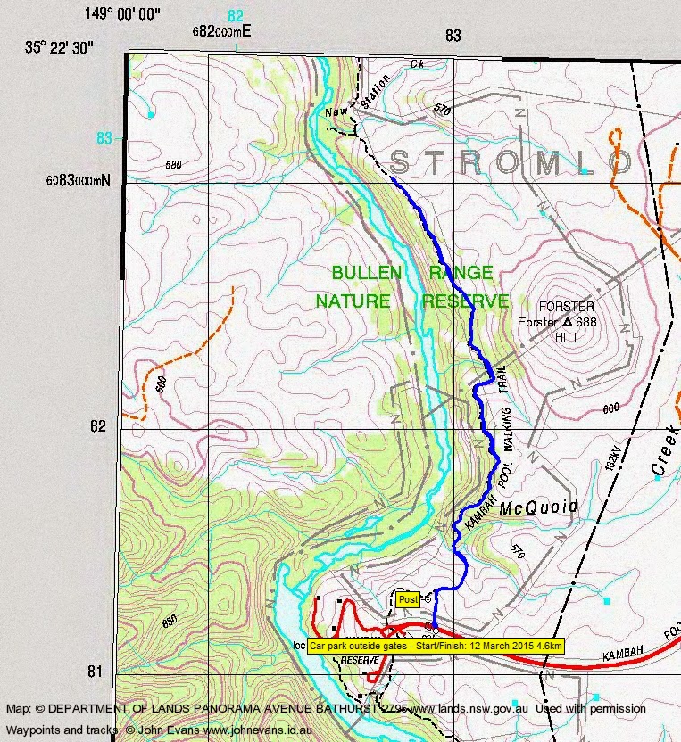
6 of us met in the car park outside the Kambah Pool gates.
Summary
Distance: 4.6km | Climb: 230m | Time: 6.30pm-7.45pm (1hr 15mins) | Grading: S/E; E(4)
Track Map
Track
Photographs
Photographs are available, where you can start a large sized slideshow.
gpx File
Download the .gpx file here. (Right click, Save Link As…, Save – if you want to use it.)
kml File
Download the .kml file here.
Track Notes
With daylight savings soon to come to an end and with the Bullen Range to the west, there was not quite as much daylight for walking as I planned. But we had a nice stroll a bit over 2 km north from Kambah Pool and plenty of enjoyable chatter.
Great views down to the Murrumbidgee River.
Don’t tell anyone that I arrived early and went in ∼700m to try to find GC2A9HV Vantage Point, but couldn’t. And it’s an ammo box. That shows you how good a cacher I am.
Anyone wanting to get to Forster trig could come in this way ∼1.8km then, when the scrub clears to the east, double back and approach the hill up from the NW.
Thanks folks, an enjoyable hour or so.
Party
6 walkers – James B, Vivien C, Vin F, Maureen S, Jasmine S, me.