Mt Tennent and Bushfold Flat

Thursday 14 July: Mt Tennent and Bushfold Flats – L/E. Corin Road closed so a plan B stroll with my great mate Max.
2 of us met and drove to the Namadgi Visitors Centre outer car park.
Further Information
I was hoping to get back up to Mt Gingera for a snowshoe, after last weekend and the following snow dump. But the Corin Road was closed.
Summary
Distance: 19.7km | Climb: 950m | Time: 7.40am – 1.25pm (5hrs 45mins), including 20 mins of breaks | Grading: M/E; M(11)
Photographs
Photographs are available, where you can start a large sized slideshow.
Waypoint and Track Files
Download the .gpx file. (Right click, Save Link As…, Save – if you want to use it.)
To use in Google Earth, do File, Open… and select Gps or All files as the File Type.
Track Notes
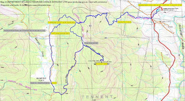
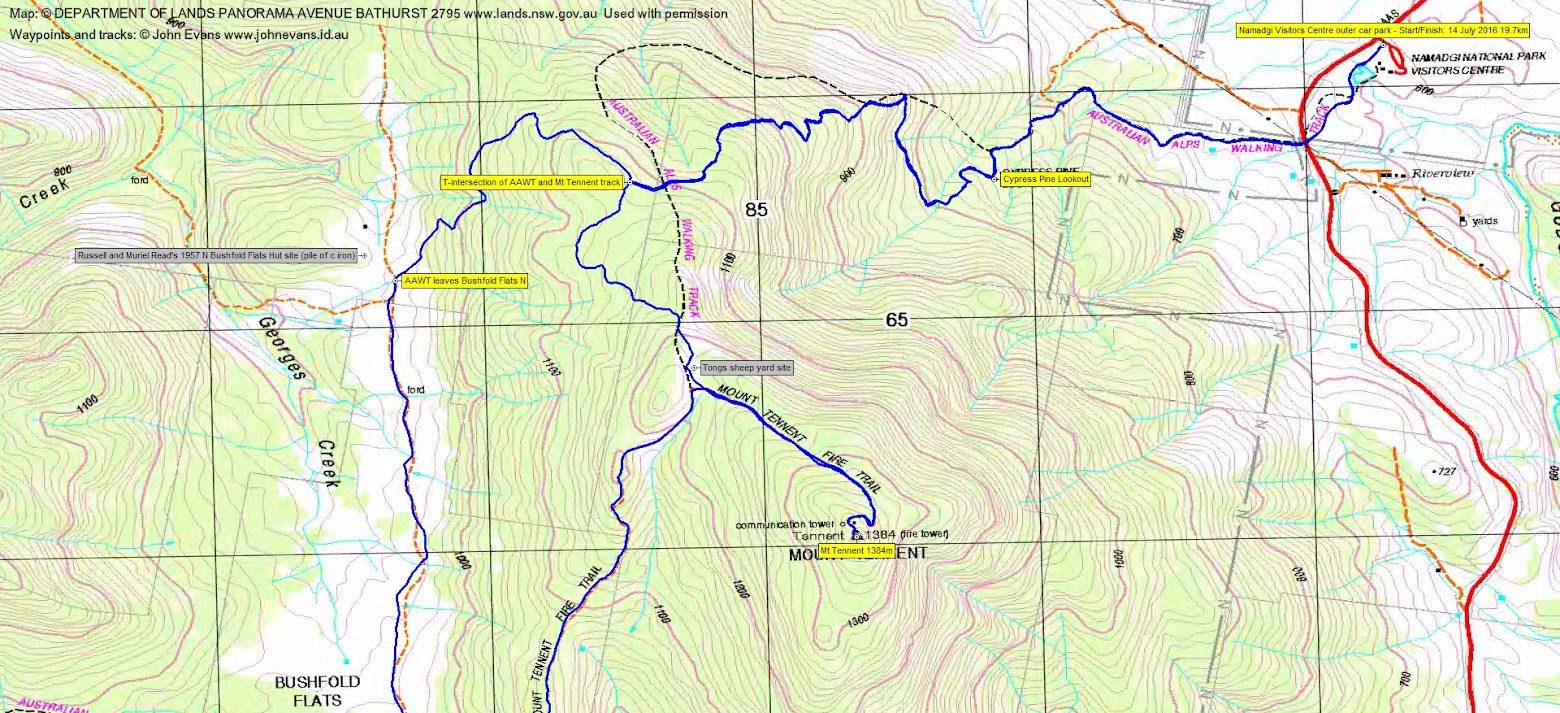
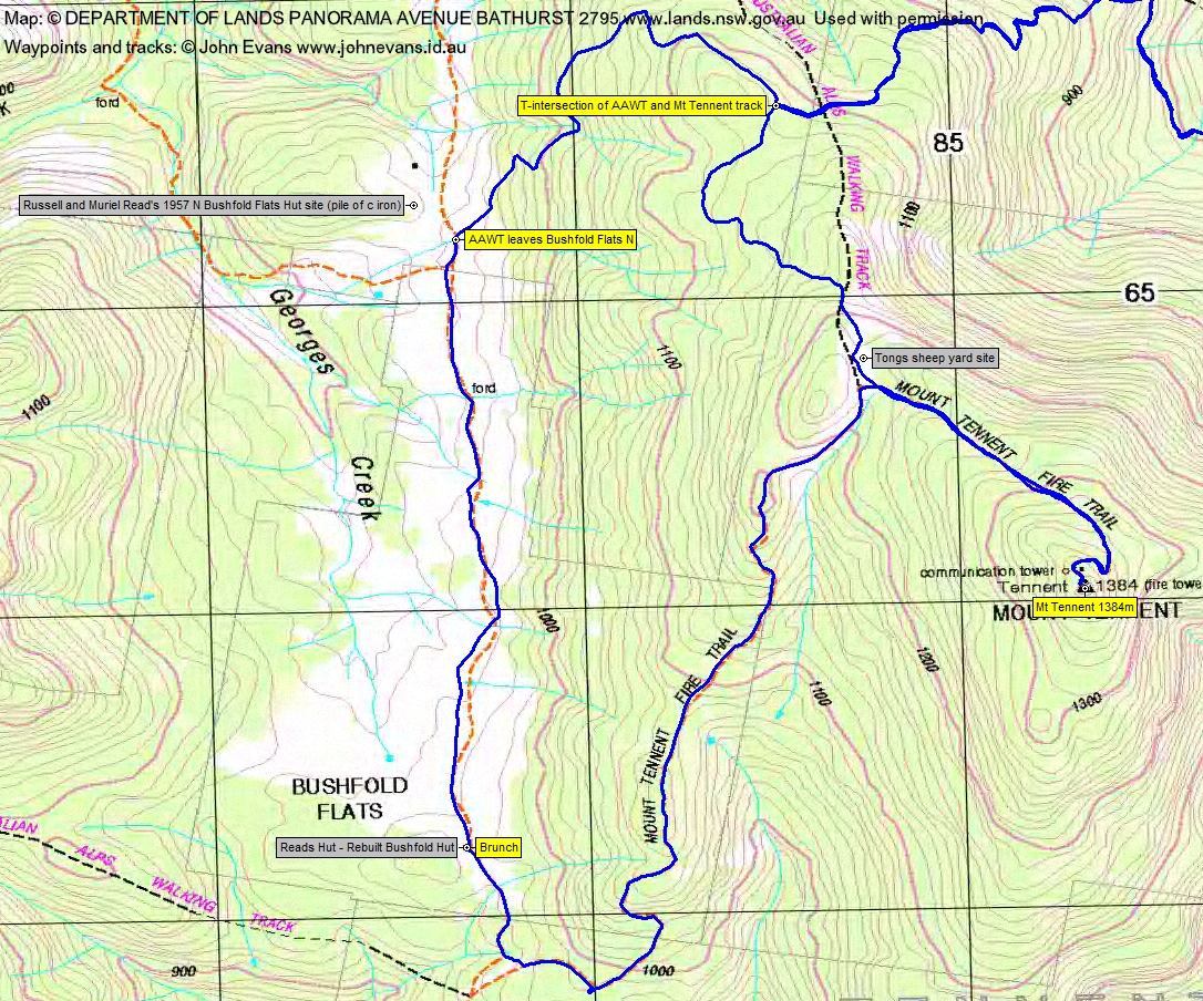
More of a puff for me than a stroll up to Mt Tennent. We ran into light snow at around 1100m, approaching the AAWT-Mt Tennent track T-intersection. One guy passed us. A large tree has fallen down at the Tongs sheep yard site. Up the top by 9.50am, so the 7km took 2hrs 10mins. A quick pause in the slight breeze and a decision to eat down in the sun and the lee of the hill at Bushfold Hut.
So most of the way down the Mt Tennent fire trail to the southern end of Bushfold Flats. A bit more snow about and to lower down on the more sheltered southern side of the hill. Morning tea/lunch/eats and hot tea at Bushfold Hut.
An amble north up Bushfold Flats to where the AAWT leaves the Flats towards the northern end. We spotted the stack of corrugated iron in the distance that was Russell and Muriel Read’s 1957 Hut.
Again, a bit cooler and snowier on the climb back up to the Tennent ridge and the T-intersection, as it was in the shade. The leg from Mt Tennent back to the T-intersection was 8.1km taking 2hrs 5mins (including our break).
A bit warmer by now, requiring the removal of a layer or two from the top and my fine new Aldi merino tights. Met Trevor L and later Diana K coming up as we wandered down, plus the new ACT Ranger coordinating the AAWT. 4.6km down in 1hr 25mins.
Thanks Max. A few possible plans laid and, for me, better than sitting around the old folks home 😉 .
Track Maps
Track overview
Track 1
Track 2
Profile

Party
2 walkers – Max S, me.