View from GC2BG7Q Bushfold View
Saturday 19 April: Mt Tennent (part 3) – L/M. From the Namadgi Visitor Information Centre, we will follow the AAWT to Bushfold Flats before climbing through the scrub to pick up Tennent Fire Trail, which will take us to the summit. Return along a footpad and the AAWT. ~14 km + ~1000 m ascent, on a mix of track, fire trail and off-track negotiable route through scrub. Map: Williamsdale Leader: Terence U. Transport: Drive yourself.
9 of us met at the Namadgi Visitors Centre.
Further Information
An extremely tolerant walk leader allowed a geocache. And it was near enough to the planned leg from Bushfold Flats to the Mt Tennent Fire Trail.
Summary
Distance: 16.2km | Climb: 1030m | Time: 8.30am-2.50pm (6hrs 20mins), with 45 mins of breaks. | Grading: L/E-M; H(13-)
Track Map

Photographs
Photographs are available, where you can start a large sized slide show.
Google Earth
Download the Google Earth .kmz file here.
Track Notes
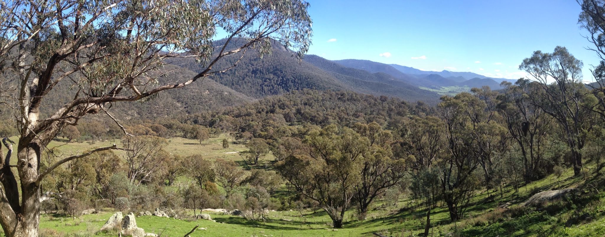
A lovely Easter Saturday. We wandered at an easy pace up the AAWT to the N Tennent T-intersection, then down to the N end of Bushfold Flats. Propped on the granite slabs in the grass just near the Reids 1-stand shearing shed site for morning tea.
Here, in anticipation, I set my GPSr, some had a giggle at the geocache hint description then, when the leader unleashed me, it was up the fence line in the green grass to the perpendicular fence line at the top of the cleared area to log the cache.
From here we continued on up through the scrub to the Mt Tennent FT/AAWT link at Tongs sheep yards site, then on up the FT to the top. Lunch. Never seen so many people on the hill, maybe 45-50 all up today. Talked to a guy new to Canberra who might join CBC.
Another nicely paced wander back down to the cars. Excellent leader; great party; lovely day.
Party
9 walkers – Cynthia B, Virginia B, Gavin F, Mark H, Chris R, Phillip S, Terence U (leader), Edwina Y, me.