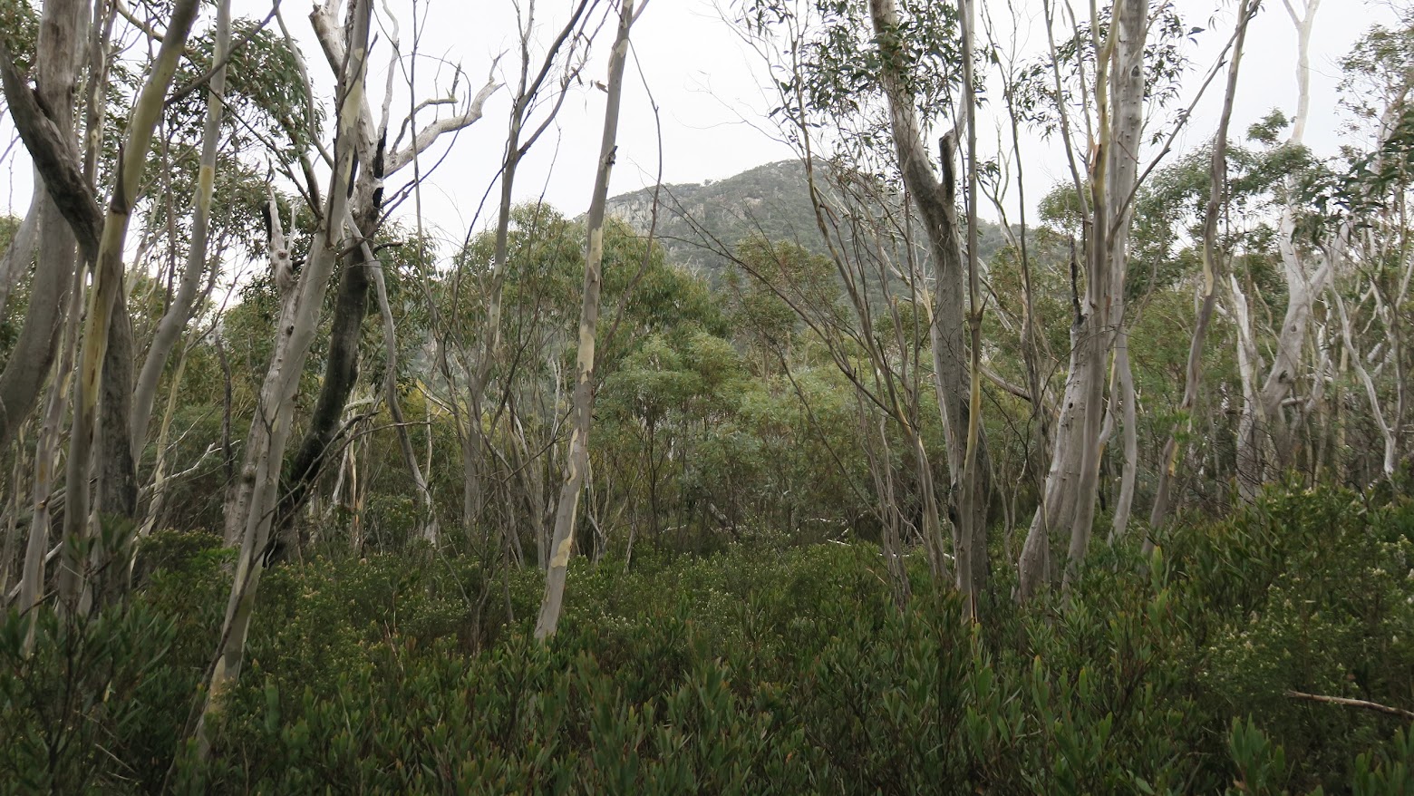
Tidbinbilla Mountain from the Skyline Track
Wednesday 28 June: Tidbinbilla Skyline – L/R. Lyrebird Track, spur up to Snowy Corner, Tidbinbilla Mountain, Tidbinbilla Peak, Johns Peak, Camel Back fire trail. Around 14km and 900m. Solo trip.
Further Information
So why am I back again so soon after Saturday? A walk just to please myself and not have to worry about others’ objectives and group cohesion. Plus, on a lone trip, there is only one pee stop, not a series of several. Breaks are minimal. Interested to get some leg timings. I don’t recommend solo walking – I had a PLB, mobile reception and two mates briefed on my planned route and waiting for a check-in.
Summary
Distance: 13.6km | Climb: 900m | Time: 7.30am – 12.35pm (5hrs 5mins), including 15 mins of breaks | Grading: L/R; H(13)
Photographs
Photographs are available, where you can start a large sized slideshow.
Waypoint and Track Files
Download the .gpx file. (Right click, Save Link As…, Save – if you want to use it.)
To use in Google Earth, do File, Open… and select Gps or All files as the File Type.
Track Notes
Quite a few roos on the road driving out so I was slow. Hell to pay if I bashed the town car. The TNR gates were open at 7.15am, so I was ready to walk from the Mountain Creek car park by 7.30am.
Set off around the Lyrebird track for 840m in 12mins to my take off point (a bit further on from 27 May 17). A nice footpad has developed, so no hassle anymore. It cuts up to the crest of the ridge. Strangely, there is a series of tapes that heads off down the other side of the spur – I don’t know where to. I just turned right, skirted a boulder and picked up the pre-2003 fire alignment of the Lyrebird track. There is a large tor on the left side of the track then, a few metres further on, the bottom of the well developed footpad which climbs the spur to the Snowy Corner cairn(s). 190m in 4mins for this bit.
It’s a steep climb via the footpad, 1.4km in 1hr climbing 460 vertical metres. I put my feet up for two minutes at the stools half way up. Not a breath of breeze on the east side of the Tidbinbilla Range, so it was layers, beanie and gloves off. An overcast day.
1km in 40mins from the Snowy Corner cairn(s) (now 3 of them) to Tidbinbilla Mountain. I quite like the little wall that the Skyline Track skirts on the climb to the Mountain. I probable only lost the track 2 or 3 times 🙄 . A bit breezy on top and the cloud rolled in.
It’s a nice descent down the north side of Tidbinbilla Mountain. you need to take a right turn when down from the rocks – I took the corner a bit wide. I may have been too wide to see the early tapes, but I picked up a couple more earlier on that last time. The part of this leg from The Pimple turn off cairn to the cairn near SH1556 is not that easy to follow (at least for me 🙄 ). Not sure that I’d recommend this part of the track, unless you know what you’re doing. Today, from Tidbinbilla Mountain to Tidbinbilla Peak was 2km in 1hr. 8mins for morning tea. Clouded in.
So what lay ahead was very familiar, if in the other direction, from last Saturday. And the part of the Skyline Track from Tidbinbilla Peak to the Camel Back Fire Trail is very well defined. Tidbinbilla Peak to Johns Peak was 1km in 25mins. Still pretty cloudy, so views not so good. Johns Peak to the fire trail was 1.5km in 30mins.
A 5min break to remove my knee brace, ring my dear wife to assure her I was alive and well, and a swig of water.
5.6km in 55mins down the Camel Back Fire Trail.
Timings
| Leg | From | To | Distance | Time | |
| 1 | Mountain Creek car park | Bottom of spur pad | 1 | 16mins | |
| 2 | Bottom of spur pad | Snowy Corner cairns | 1.4 | 1hr | |
| 3 | Snowy Corner cairns | Tidbinbilla Mountain | 1 | 40mins | |
| 4 | Tidbinbilla Mountain | Tidbinbilla Peak | 2 | 1hr | |
| 5 | Tidbinbilla Peak | Johns Peak | 1 | 25mins | |
| 6 | Johns Peak | Camel Back fire trail | 1.5 | 30mins | |
| 7 | Descend Camel Back fire trail | 5.6 | 55mins | ||
Track Maps
Party
1 walker – me.
Terrylea Reynolds
29 June , 2017 10:33 amOh John . Love reading this post. You’re a real hoot. Especially that bit about the town car and hell to pay. Didn’t realise you were up there yesterday. I was up there too, with Barrie R as leader, accompanied by Liz, Judy, Prue, Leon, David and Shirley. A coolish day early on. We went reverse to your Saturday route, starting by climbing up the old pre bushfire footpad up off Camel Back Fire Trail (approx 50 m north of where there are new pink tapes also heading up what looks to be Tidbinbilla Peak). A good route I must say – very clear until the last 200 m when it got scrubby. We took a right turn along from the top towards the peak itself (as we’d emerged maybe 50m to the south at a SH), then continued along that great clear track to John’s Peak and down to the FT. From there, we decided we still had energy and a couple of the party hadn’t been up Camel’s Hump so up we went. A great day. Back at Kambah car park by 4pm ish. Did miss you.
Walking in a knee brace eh? Hope that worked well and your old injury isn’t niggling.
Hope to catch up soon and share my Larapinta tales with you.
TL