Water at Mulligans Flat

Saturday arvo 3 September: Mulligans Flat Nature Reserve – S/E. A ramble led by Stan M, after the rain caused Harrisons Peak to be postponed.
7 of us met.
Summary
Distance: 9.8km | Climb: 140m | Time: 2.00 – 4.30pm (2hrs 30mins) | Grading: S/E; E(5)
Photographs
Photographs are available, where you can start a large sized slideshow.
Waypoint and Track Files
Download the .gpx file. (Right click, Save Link As…, Save – if you want to use it.)
To use in Google Earth, do File, Open… and select Gps or All files as the File Type.
Track Notes
60-70mm of rain in the previous 24 hours and clearing showers forecast, so the Harrisons Peak walk was postponed. Stan kindly arranged an arvo substitute for those of us who wanted to breathe a bit of fresh air.
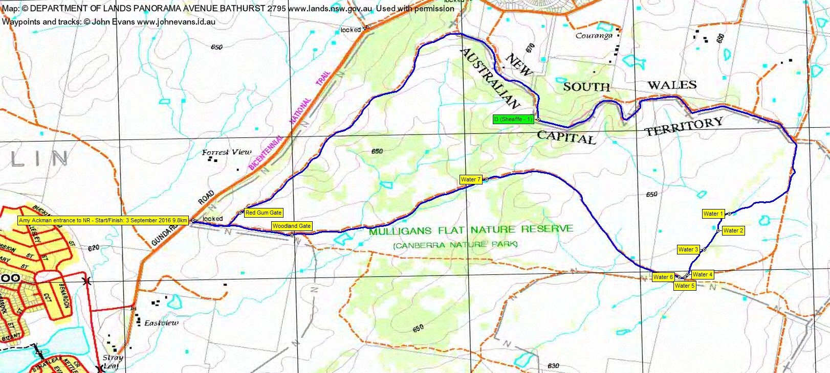
A dumb-bell shaped route, in via the Red Gum gate and paralleling the Gundaroo Rd up to the northern ACT border. A shower caused some coats to appear. Generally east along it. We spied border marker I3. Then south and south-west across the flat area of Mulligans Flat. The running water everywhere today proved that it’s not quite flat. I’ve never seen so much water here. It collects and flows south-west into Yerrabi Pond and so into Ginninderra Creek and down to the Murrumbidgee. You can see from the photos I obsessed. Out the Woodland Gate.
A pleasant couple of hours for thwarted walkers.
Track Map
Party
7 walkers – Carol A, Stan M (leader), Nerolie P, Sally S, Phillip S, Steven S, me.