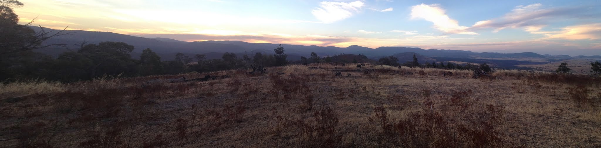
View back to Brown trig and sunset on the Brindabellas
Thursday evening 23 January: Mt Stromlo & Brown Trig – S/E. Meet at 6.30 pm. Park at the junction of Coppins Crossing Road and Uriarra Road. No need to book. Maps: Canberra, Cotter Dam. Leader: Phillip S. Transport: Drive yourself.
14 of us met and drove in a few cars to the boom gate at Mt Stromlo.
Summary
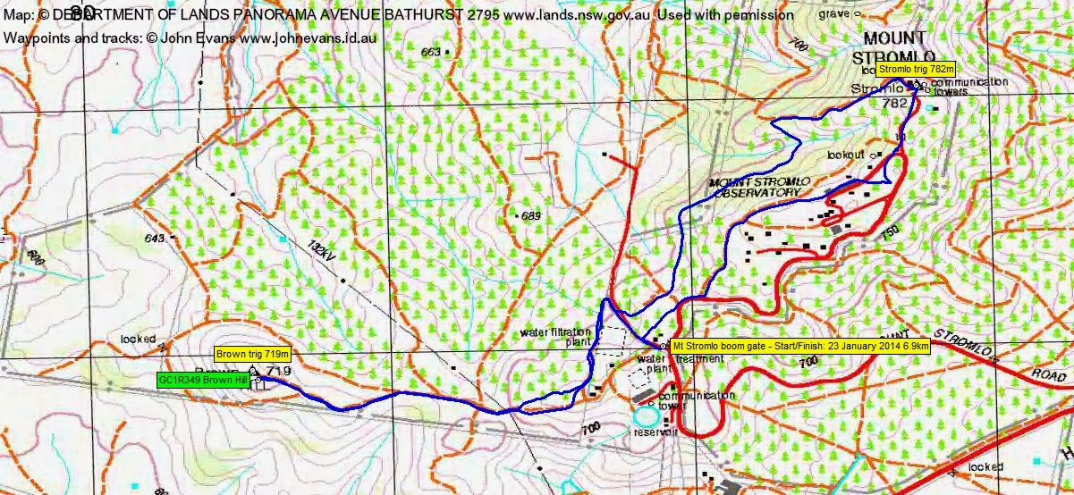
Distance: 6.9km | Climb: 190m | Time: 6.40-8.25pm (1hrs 45mins) | Grading: S/E; E(6)
Track Map
Photographs
Photographs are available, where you can start a large sized slide show.
Google Earth
Download the Google Earth .kmz file here.
Track Notes
Continuing the effort to separate geocaching from participating in someone else’s walk, I arrived at the meet point 30 minutes early. Our ever attentive leader was already there. I continued along Uriarra Rd for a bit, parked and hopped the fence to find GC3Q0GQ 17th of 50 Must See Places – KAKADU and GC3Q0GN 16th of 50 Must See Places – LONDON. With 50 caches in the series, plenty of reason to return. Back to the meet place by 6.30pm.
We then car pooled and drove to the boom gates on Mt Stromlo Rd.
A pleasant amble up to Stromlo trig (I didn’t have sufficient time to find GC41TE8 Walking on the Moon), then down and along the W flank through the dry Casuarina forest, around the back of the water treatment plant and so to Brown Hill.
Heading towards GC1R349 Brown Hill I discovered the I was walking with a (new) fellow cacher, bonek. He made the find and generously allowed me to log it.
Phillip, the ever consumate leader, allowed us our glee. A pleasant evening stroll.
Party
14 walkers – Rosemary B, Anne C, Virginia D, Gavin F, Di G, Katrina H, Bob L, Karel P, Nerolie P, Phillip S (leader), Chris S, Ian T, Barb V, me.