Booroomba Rocks cliff from Mt Tennent
Monday 20 May: Mt Tennent – L/E. A quick jaunt up Mt Tennent prior to a meeting at the NVC.
Just me.
Summary
Distance: 14.0km | Climb:820m | Time: 11.40am-2.55pm (3hrs 15mins) | Grading: L/E,ptX; M(9)
Track Map

Photographs
Photographs are available, where you can start a large sized slide show.
Google Earth
Download the Google Earth .kmz file here.
Track Notes
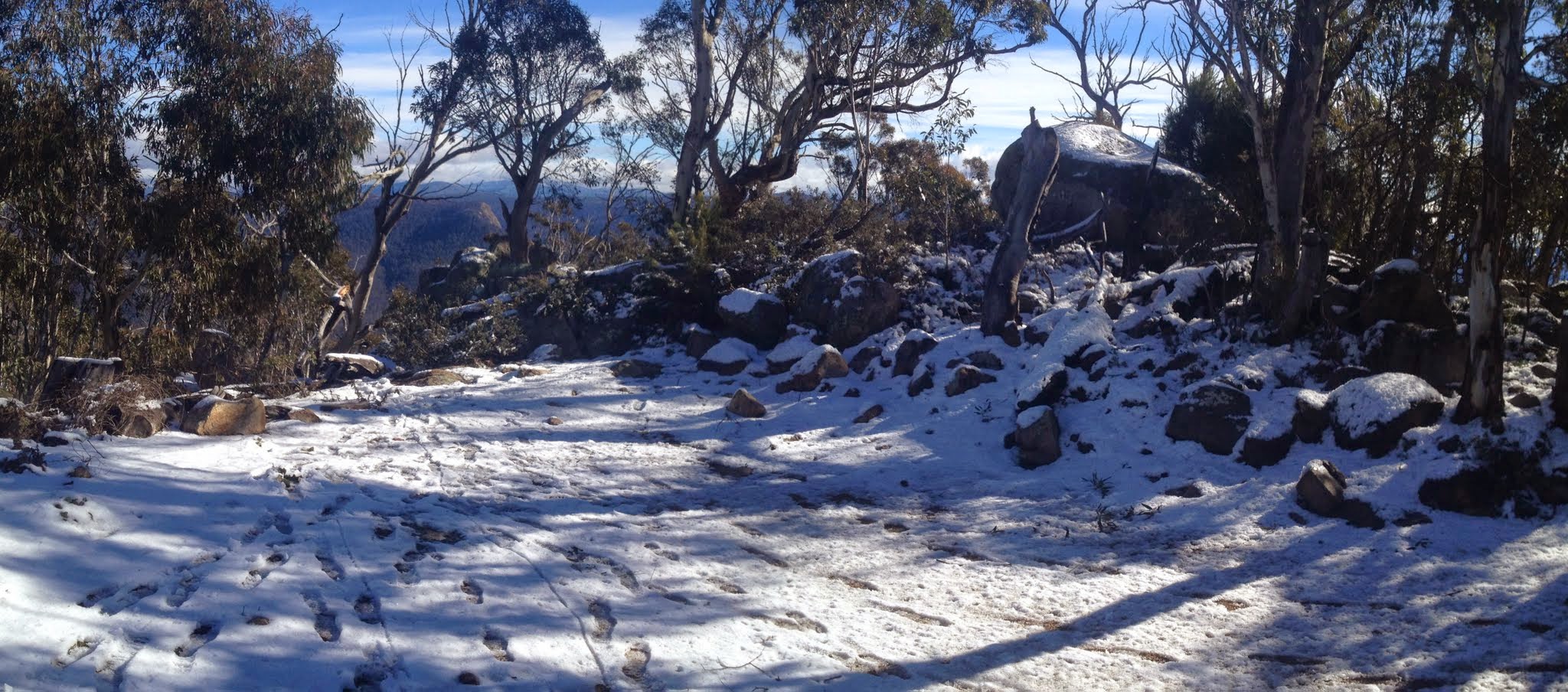
I thought there might be enough snow on Mt Tennent for a snow shoe, so I planned to wander up the Mt Tennent Fire Trail from Apollo Rd. Perhaps I’d be a better meteorologist if I stuck my head out the door when I got up, instead of turning on the heater. Walked out the front door at 11am to a (relatively) balmy day and, driving over the saddle into Kambah, saw there was nothing on Mt Tennent. Anyway, I had a 3pm meeting at the Namadgi Visitors Centre, so I drove on to there to just walk up the AAWT, link track and Mt Tennent FT to the top.
A pleasant trip up, pausing at Cypress Pine Lookout to undress. 7km and 1hr 50mins up. No time for lunch, as it was 1.25pm.
7km and 1hr 30mins down.
Party
1 walker – me.