Last updated 23Jun19
Footpad to Rendezvous Creek
The Footpad to Rendezvous Creek links the Nursery Swamp car park in the Orroral Valley to Rendezvous Creek in the Namadgi National Park.
Location: Start – GR 55H FA 77560-78688 (MGA94);52874; end – GR 55H FA 74043-51206 (MGA94), Rendezvous Creek 8626-1S 1:25000
The beginning of W-G OR22 Bridle track to Rendezvous Creek, April 2008
Visits: 21 May 13, 17 Nov 12, 3 Jul 12, 15 May 12, 22 Feb 11, 26 Oct 10, 22 Dec 09, 24 Nov 09, 3 Oct 09, numerous other times
Documentation:
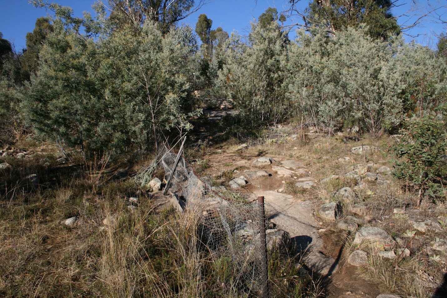
• This route commences at the Nursery Swamp car park on the Orroral Road and initially follows the Nursery Swamp Walking Track. Cross the bridge over Nursery Creek and, at a distinct U-bend in the Track (the ‘Rob H turnoff’ – I always used to leave the track above Nursery Creek and cross Nursery Creek), walk West and pick up the footpad which goes West to the saddle then down to Rendezvous Creek.
• Cross the bridge over Nursery Creek and continue for around 275m along the Track to a distinct U-bend at UTM 55H 676365-6051532 (MGA94). Head 251°magnetic for around 210m. (alternative start: After climbing to the high point above Nursery Creek, the Nursery Swamp Walking Track takes a turn to the South. There is a burnt and blackened marker post on the NW side of the turn. A few tens of metres down the track, leave it to the SW and go down to cross Nursery Creek. Head for a large pig trap at UTM 55H 676270-6051646 (MGA94). Round the finger of bush to its W and continue heading SW across the pig-rooted flats.) You need to find a blue painted branch down near ground level marking the start of the footpad at UTM 55H 676146-6051529 (MGA94). It’s hard to see the blue paint in the wet. The footpad heads West, paralleling Nursery Creek to the saddle between SH1424 and SH1373. It is marked by blue paint daubs (the old and new tapes have been removed). On 21 May 13 I noticed a number of new pink tapes (2 slightly misplaced) which are very helpful. I can still manage to lose the pad several times each journey. From the saddle it descends to Rendezvous Creek, passing through a large patch of pea regrowth and following a zig-zag down the slope. You can see the remains of a bridge over the creek, just the bearers remaining. Cross the Rendezvous Creek flats to a well defined fire place on the West bank at UTM 55H 674054-6051198 (MGA94).
• Gudgenby: A register of archaeological sites in the proposed Gudgenby National Park, J H Winston-Gregson MA thesis, ANU, 1978. Site OR22. See extracts of the relevant pages in the photos above.
Leave a Comment