Last updated 2Jul19
Mt Clear Homestead site
The Mt Clear Homestead site is located near the junction of Naas Creek and Back or Grassy Creek which form the Naas River in the Namadgi National Park.
Location: GR 55H FA 81913-28803 (MGA94), Colinton 8726-3N 1:25000
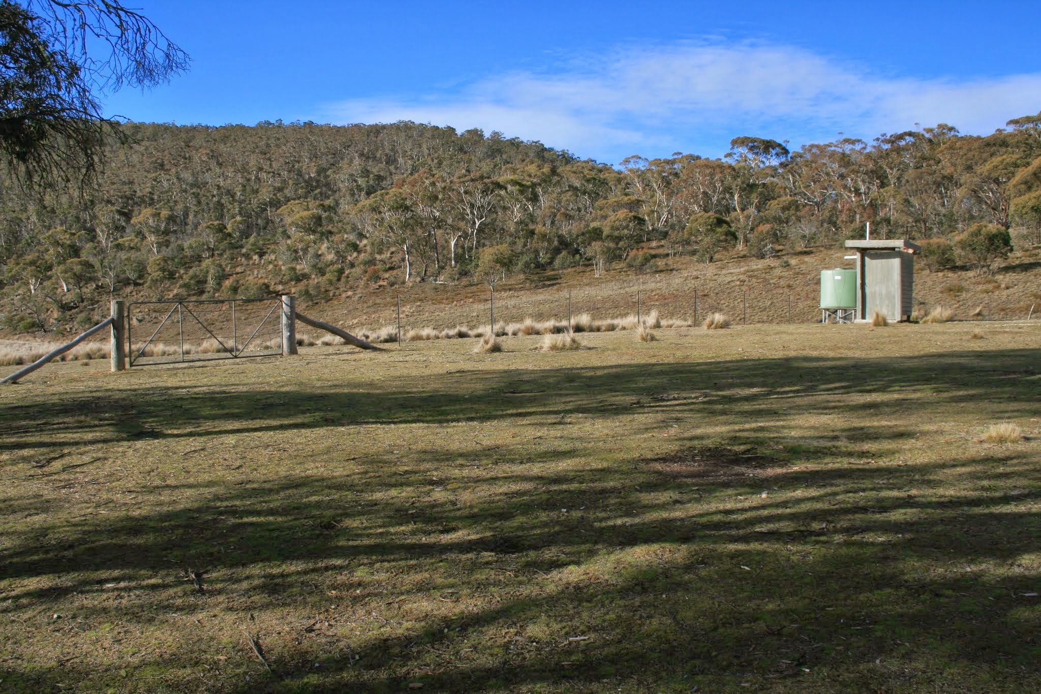
General area of Mt Clear homestead site, July 2009
Visit: 25 Jul 09
Documentation:
• KHA Namadgi database (private source). Site 284. Mt Clear was built in 1946 by Bill Warner at a cost of 500 pounds. The house was pulled down around 1973. There was also a shearer’s quarters, garage (some of its materials were salvaged from Barrett’s – Site 412) and a shearing shed. The site is today …
• Gudgenby: A register of archaeological sites in the proposed Gudgenby National Park, J H Winston-Gregson MA thesis, ANU, 1978. Site BR5. See extracts of the relevant pages in the photos above.
• Nothing can be identified except some concreted flagstones in the grass near the functional loo.
Leave a Comment