Last updated 4Jul19
Orroral Picnic Ground Tank Stand site, Amenities Block, Weir and Flow Meter
The Orroral Picnic Ground Tank Stand site, Amenities Block, Weir and Flow Meter are located across the Orroral Road and downstream from the Orroral Camping Ground in the Namadgi National Park.
Location: Tank Stand GR 55H FA 79933-51054 (MGA94); Amenities Block GR 55H FA 79891-51136 (MGA94); Weir and Flow Meter GR 55H FA 79930-51191 (MGA94), Rendezvous Creek 8626-1S 1:25000
Orroral Picnic Ground Tank stand site, April 2008

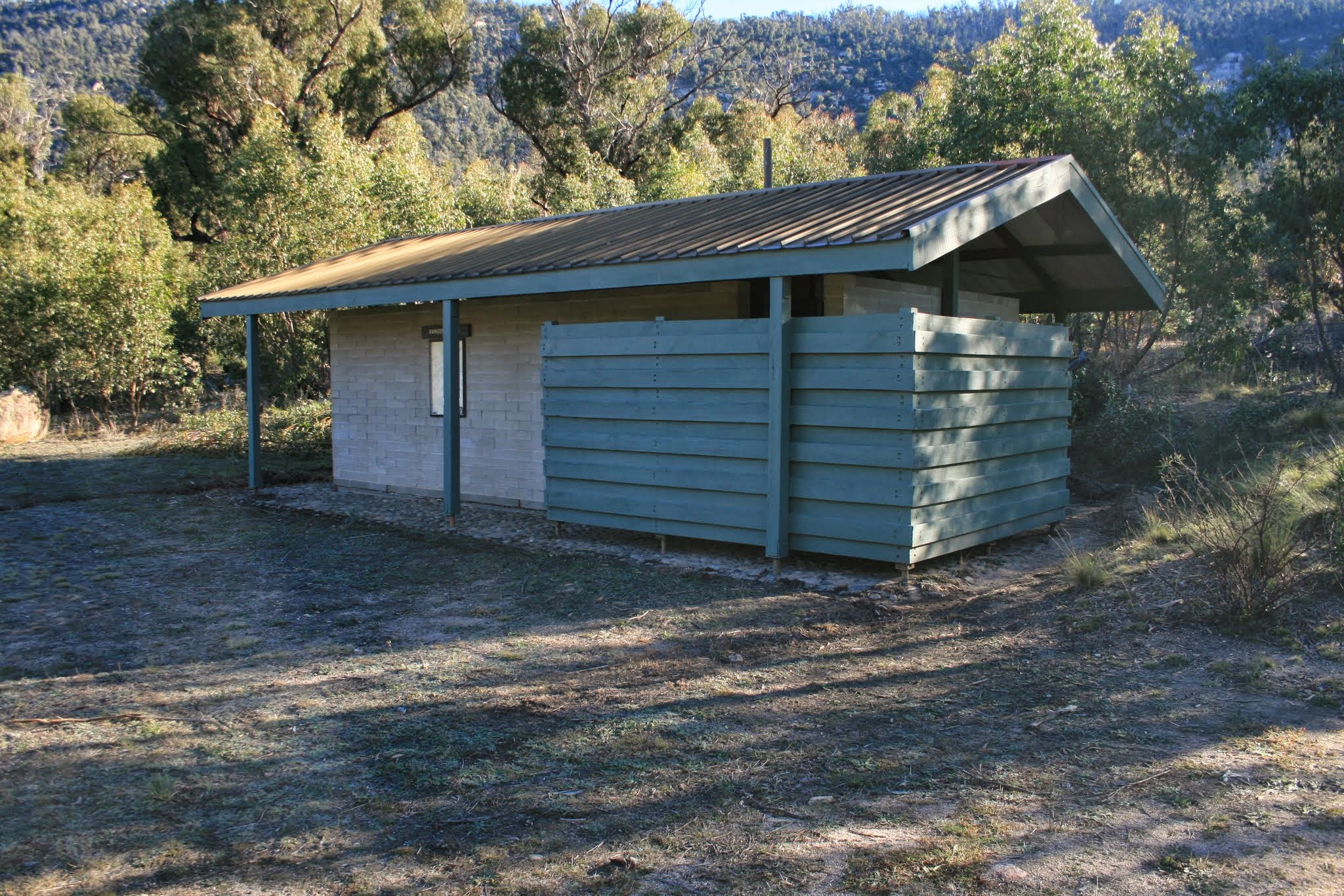
Orroral Picnic Ground Amenities Block, April 2008
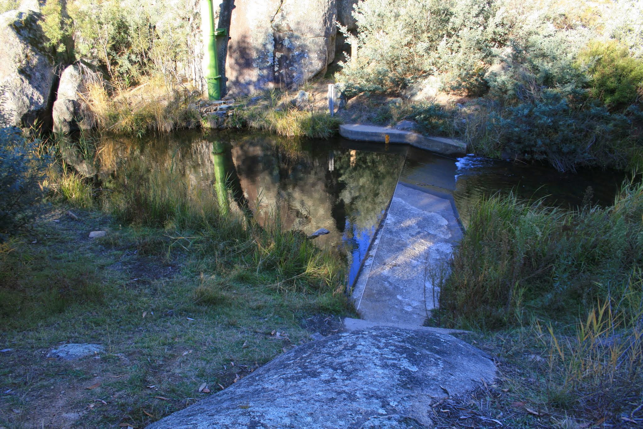
Orroral Picnic Ground Concrete weir, April 2008
Visit: 29 Apr 08
Documentation:
• KHA Namadgi database (private source). Site 230. Orroral Picnic Area built in 1973 including septic toilet block, 2 water tanks, BBQs, picnic tables, small carpark. Firewood bin added 1980. Windmill added c1982 to pump water but proved unreliable and diesel pump was installed in mid 1980s. Also in mid …. Site 231. Station name ‘ Orroral River at Road Crossing’. Operated by ACTEW. Climate station established on 7/23/1968; flow station 9/29/1967.
• Gudgenby: A register of archaeological sites in the proposed Gudgenby National Park, J H Winston-Gregson MA thesis, ANU, 1978. Site NA28 1-3. Two concrete tanks on a concrete brick stand with surrounding wall. Site NA28 2-3. Immediately adjacent old Naas/Boboyan road. Pebble and concrete floor, concrete brick walls, aluminium roof, timber screening walls. Site NA28 3-3. Metal tower; concrete weir. See extracts of the relevant pages in the photos above.
Leave a Comment