- click for a larger picture
24 October 2011 Black Mountain
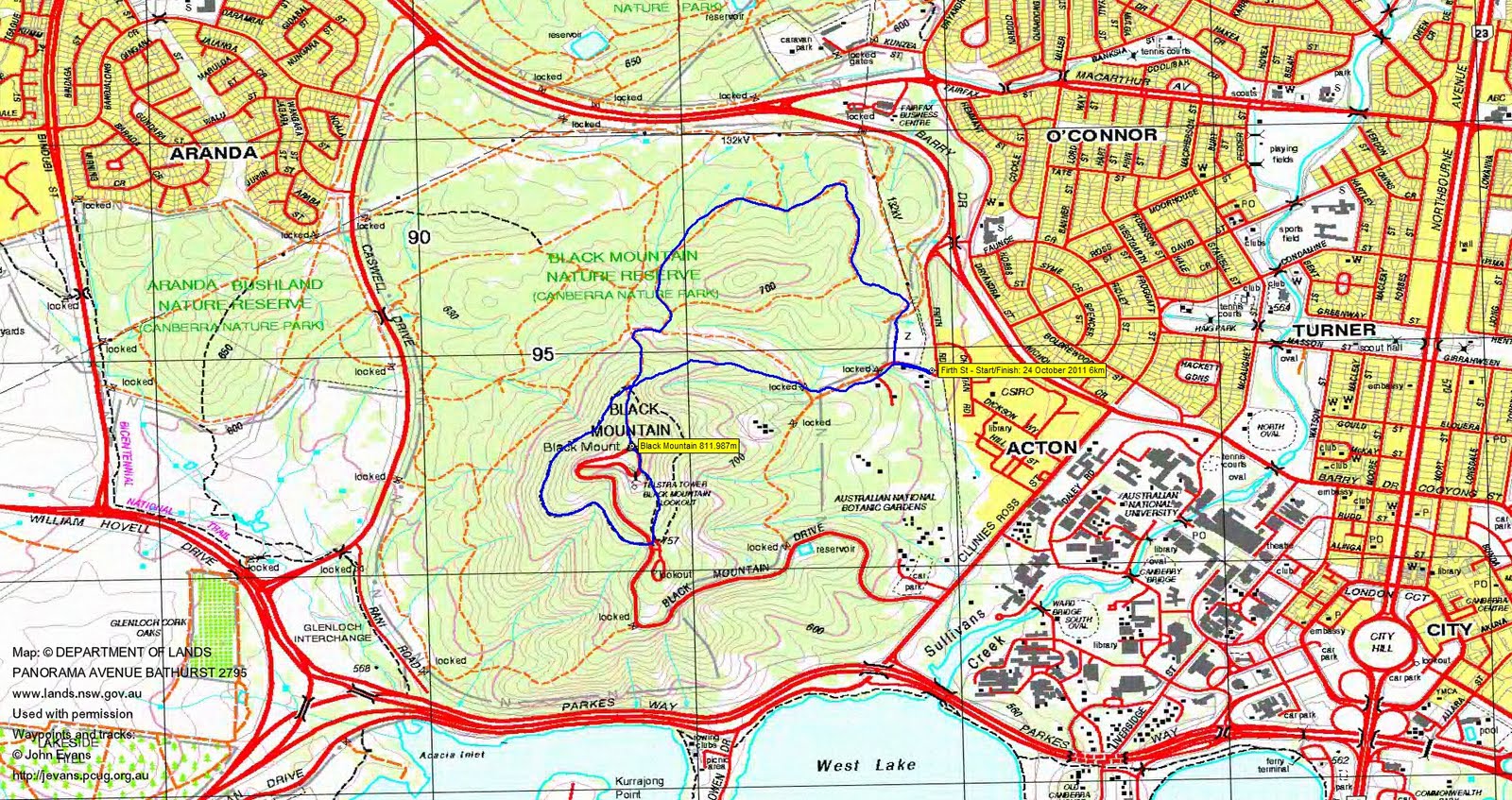
Map: Canberra 1:25000
Getting There
This walk was organised and led by Lorraine T as a CBC walk:
Monday 24 October - Black Mountain - S/E. This one of a small number of walks for those like me trying to increase the number of peaks they have climbed for the 50 peaks in 50 weeks challenge. This walk will be 1½ to 2 hours and will take in some of the tracks as well as the peak. Meet at 4.30 pm at the substation at the end of Frith St Action, behind CSIRO (UBD 48 P13). No need to book. Map: Sketch map available on the ACT TAMS website. Leader: Lorraine T. Transport: drive yourself or cycle.
Further Information
There is an ACT Government schematic map of the Black Mountain Nature Reserve here.
Photographs
You can access all photographs here.
Walk
| Track map: thumbnail is active - click for a larger picture |
||
|
||
| Track | ||
A very pleasant little walk up the track from the back of the Botanic Gardens, from N through W to S around the ('hat band') Forest Trail, up the Telstra Trail beside the tower and to the top, then N, E and S around Little Black Mountain. I'd not been in this area before.
Lots of new and very informative signage. Many of the management tracks marked with the standard fire trail metal identification signs.
A brief shower on the way back.
Very nice, thank you Lorraine. And thanks to Cynthia B, Gavin F, Chris F, Nathan H, Barry M and Phillip S (great to see you back walking!).
Distance: 6km Climb: 200m. Time: 4.20 - 6.05pm (1hr 45mins).
Grading: S/E; E(5)
KMZ file for Google Earth/Maps: Black Mountain
Back to Walks Index
This page last updated 29Aug22