This walk was organised and led by me as an irregular CBC Tuesday walk:
Tuesday 7 July - Mt Coree and the Brindabella Range - L/M-R,ptX. Climb Mt Coree from Blundells Flat. Descend the steep S spur, following the border, to the intersection of Two Sticks and Curries Roads. Undulate along the border (who knows what we'll find) to S of SH1326. Follow a convenient spur back down to Blundells Flat. Around 12km + 900m climb. Map: Cotter Dam 1:25000. Limit of 8. Leader: John Evans – jevans@pcug.org.au, (h) 6288 7235. Transport: $15 per car. Further details at http://jevans.pcug.org.au.
8 of us drove in 2 cars via Uriarra Crossing, Uriarra Road, Brindabella Road, Curries Road to the intersection of Curries Road and Pabral Road at Blundells Flat.
Civil twilight: 0644 - 1732
Walk track
We were heading for the genesis of ACT border markers, the holy grail of border marker hunters – Mt Coree. Percy Sheaffe started here in June 1910 and, although he went clockwise, we were going to head south off the top. Away from the cars by 8.15am and a wander up Curries Road to the corner where an old fire trail, or perhaps a fire break between the now burnt out pines and the native eucalypts, heads steeply up to a prominent corner. The track is now humped to discourage use and was pretty slippery - the stony surface was frosty hard. A beautiful day, -1°C in Canberra overnight, still nippy. We toiled up the hill, enjoyed a short respite at the knoll (330m climb to this point), then another 320m climb to Mt Coree. A patch or two of snow, plenty of slippery frost and regrowth doing well. Still, a respectable 2 hours to the top, the same as in 19 Feb 05, the first walk (led by Max) that he and I did together and which led to the start of Tuesday walks.
An enormous view from the top (see pic 1). We focussed primarily to the west, as we were out of the breeze on this side. Morning tea was taken just down from the trig which is a few metres SW of the fire and communication towers (see pic 2). Great views also to the Tidbinbilla Range and S down the Brindabella Range to snow covered Mt Gingera. So this is were Percy Sheaffe started the survey of the Federal Capital in June 1910. The original Coree marker was replaced by a quadruped trig in 1970 - A S must have been part of the work party, as these initials and that year are marked in the basal concrete. The modern survey mark is set in concrete between the four legs of the trig and the concrete pancake is on a circle composed of mortared rocks - I wonder if these were from the original trig point?
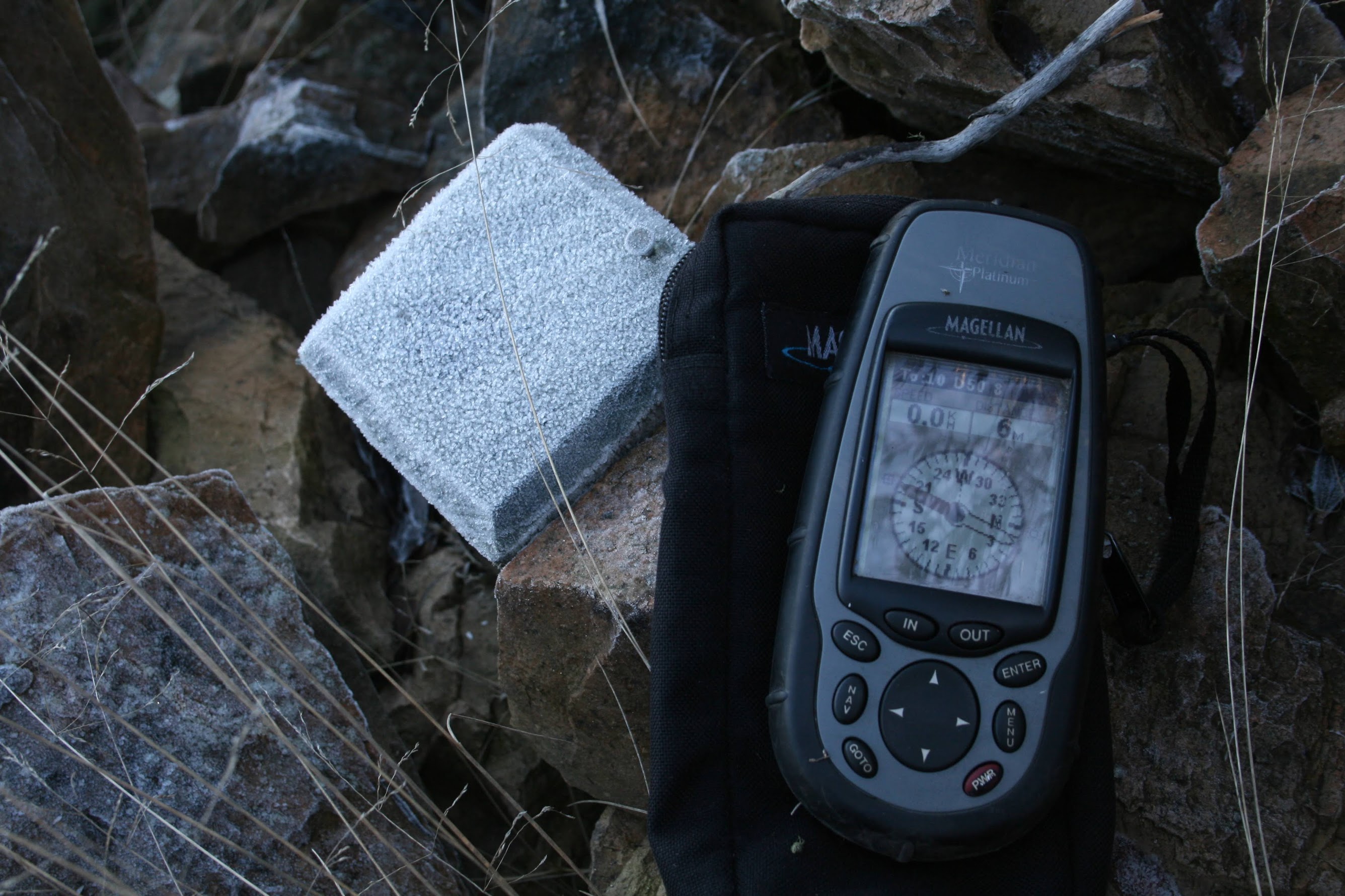
Setting off through the frosted bushes SW from the trig, we soon came upon border marker 1A. Fairly unprepossessing - the 8" Post used as the original marker gone. I'd reviewed Matthew Higgins' field survey records of the border markers last Monday and many of these original posts were still present in the 1990s, prior to the 2003 fires. Walking SW above the Coree cliffs, in another 240m we found border marker A50. Then B50, C50 and D50 (see pic 3) as we began the 300m plunge down. Slippery in the frosted heavy regrowth, it required care to descend. And, although we searched with some diligence for E50 as we neared the intersection of Two Sticks and Curries Roads, we could not find it amongst the scrubby, ferny rubbish.
Out onto the intersection, we next headed up the old fire break along the border, to the W of Two Sticks Road. No joy in finding F50 or G50 as the ground was very stony and it was just no possible to distinguish the border markers. I was disappointed and the party's enthusiasm for this anal task was waning (that's alright, we all have different reasons for walking).
But Eric G came to the rescue and as I was examining a yellow and black zebra painted star picket with sign "Survey Control Mark located nearby" wired to it, he found H50. And a little further on he nailed the 1 Mile marker. Some time was spent searching for I50 and I eventually tripped over it, completely hidden by grass and other rubbish. J50, an elegant long, straight lockspit at toe height was duly found. Back out on the fire break we caught up with the rest of the party and enjoyed lunch in the sun out of the breeze. As the only truly anal party member, I went alone to admire K50, just a few tens of metres from my munching companions.
Now 12.50pm, I knew we'd not get to the planned extent at SH1326. As well, the exit from the Brindabella Range down a convenient spur was unknown to me. We could wander back along the way we'd come, but that would be no fun. All I knew was that we had to tackle a NE facing spur and the regrowth and rubbish we'd tackled so far indicated that it would be slow. I did a hard sell to search for one more before we retired and just another 100m further on we celebrated L50 with a group photo.
Turning E, we endured a scrubby and cool descent, across Two Stick Road, down to (1.5km, 450m down in 1hr20mins) and across Fastigata Creek (a couple of tree ferns and a little flow), up to an old fire trail, then out onto Curries Road and back to the cars.
So a bag of 12 (if you count Coree), with 3 more getting away. See the border markers here.
Thanks for making it a good day - Chris and Cynthia, Eric, Eric, Ian, Roger and Rosemarie.
Distance: 8.3km Climb: 800m. Time: 8.15am - 3.10pm (call it 7 hours), with 45 mins of stops.
Grading: M/R,ptX; H(12)
KMZ file for Google Earth/Maps: Mt Coree and the Brindabella Range